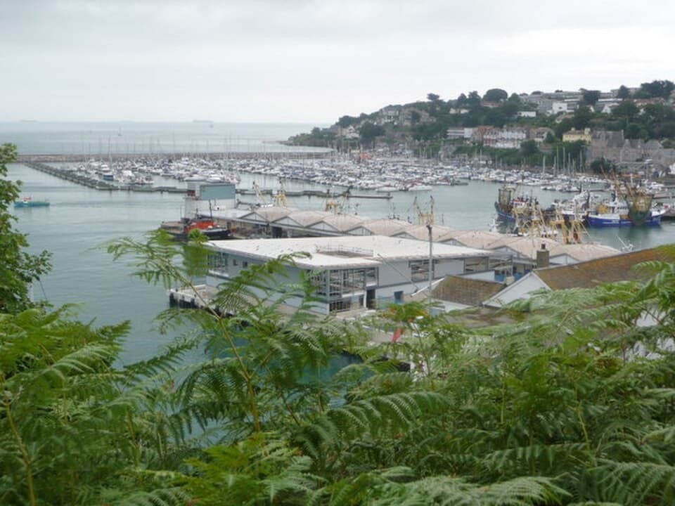
Fishing harbour
Brixham
A Devon fishing harbour where boat design and the town’s economy meet
South Devon · Reino Unido
Read the dossier →Image: Chris Downer · CC BY-SA 2.0 · Cropped to fit; full view in dossier.
Desde calas mediterráneas al abrigo de pinos hasta puertos fortaleza medievales y canales holandeses, este atlas documenta los mejores santuarios marítimos de Europa donde convergen historia naval y geología.
54 places · Page 1 of 3
Fishing harbour
A Devon fishing harbour where boat design and the town’s economy meet
South Devon · Reino Unido
Read the dossier →Image: Chris Downer · CC BY-SA 2.0 · Cropped to fit; full view in dossier.

“Anfiteatro Blanco del Cap de Creus y Tradición Marinera del Llaüt”
### La Historia Marítima Aislado de la llanura del Empordà durante siglos por la sierra del Pení, Cadaqués se desarrolló como una comunidad volcada al mar. Tras el saqueo otomano de Barbarroja en 1543, sus marineros reconstruyeron la villa como un anfiteatro encalado dedicado a la pesca del coral, la salazón de la anchoa y el comercio marítimo con Barcelona, Marsella, Génova y la Cuba decimonónica. ### Arquitectura y Frente Marítimo El núcleo antiguo está protegido como Conjunt històric de Cadaqués (IPAC 10935 / BCIN 1939-CH-EN / BIC RI-53-0000485). En su cima se alza la iglesia parroquial de Santa Maria de Cadaqués (IPAC 17945), que custodia el monumental retablo barroco en madera dorada de 23 metros (1723–1788), obra de los escultores Pau Costa y Jacint Morató culminada con Joan Torras y sufragada por el gremio de pescadores. Sus callejuelas pavimentadas en es rastell descienden hacia el baluarte costero de la Torre des Baluard (IPAC 648 / BCIN 568-MH), mientras que en la cala vecina se conserva la Casa Salvador Dalí de Portlligat (IPAC 11811 / BCIN 1949-MH-EN) y en los cabos los faros de Cap de Creus (IPAC 17955) y Cala Nans (IPAC 17956).
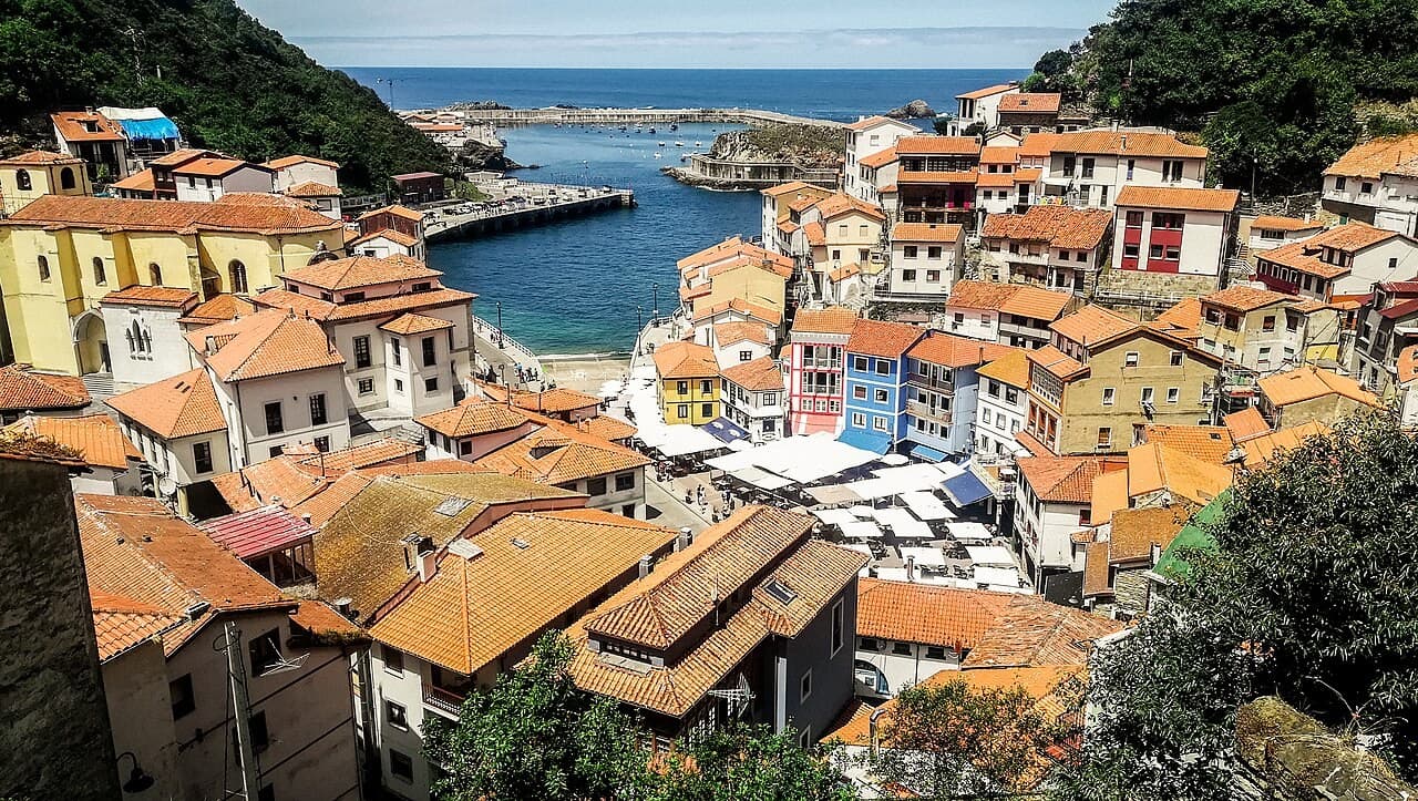
Fishing harbour
An Asturian fishing town whose buildings rise around a concentrated maritime edge
Asturias · España
Read the dossier →Image: Vilanchelo · CC BY-SA 4.0 · Cropped to fit; full view in dossier.
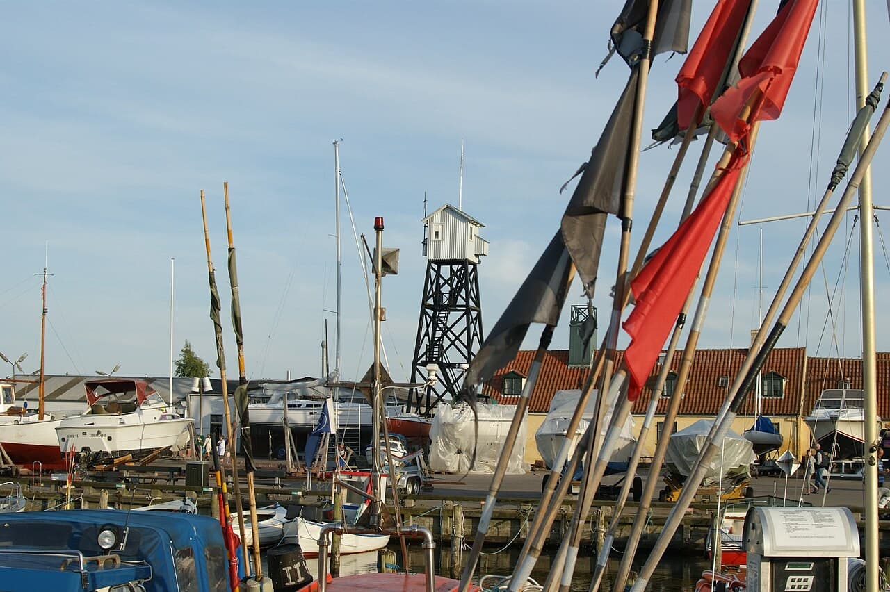
Fishing harbour
An Øresund port whose small houses preserve the scale of a seafaring town
Amager, Øresund · Dinamarca
Read the dossier →Image: Jens Cederskjold · CC BY 3.0 · Cropped to fit; full view in dossier.
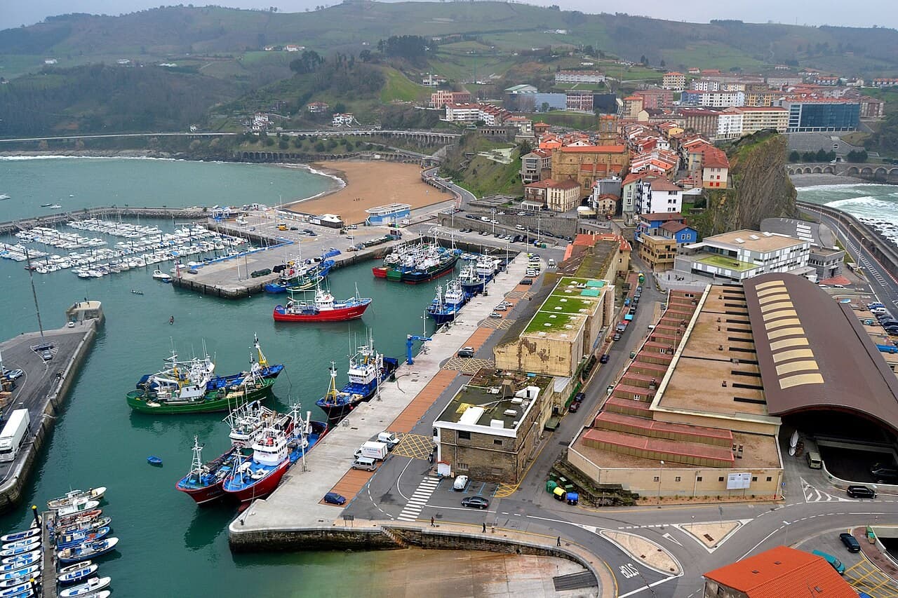
Fishing harbour
A Basque port where San Antón and the town frame a continuing fishery
Basque coast · España
Read the dossier →Image: Euskalduna · CC BY 3.0 · Cropped to fit; full view in dossier.
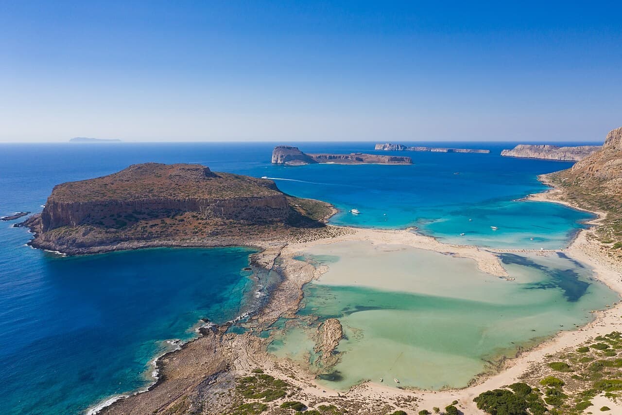
Bay & coastal landscape
A western Cretan lagoon whose shallow colours belong to a fragile coastal form
Gramvousa, western Crete · Grecia
Read the dossier →Image: dronepicr · CC BY 2.0 · Cropped to fit; full view in dossier.
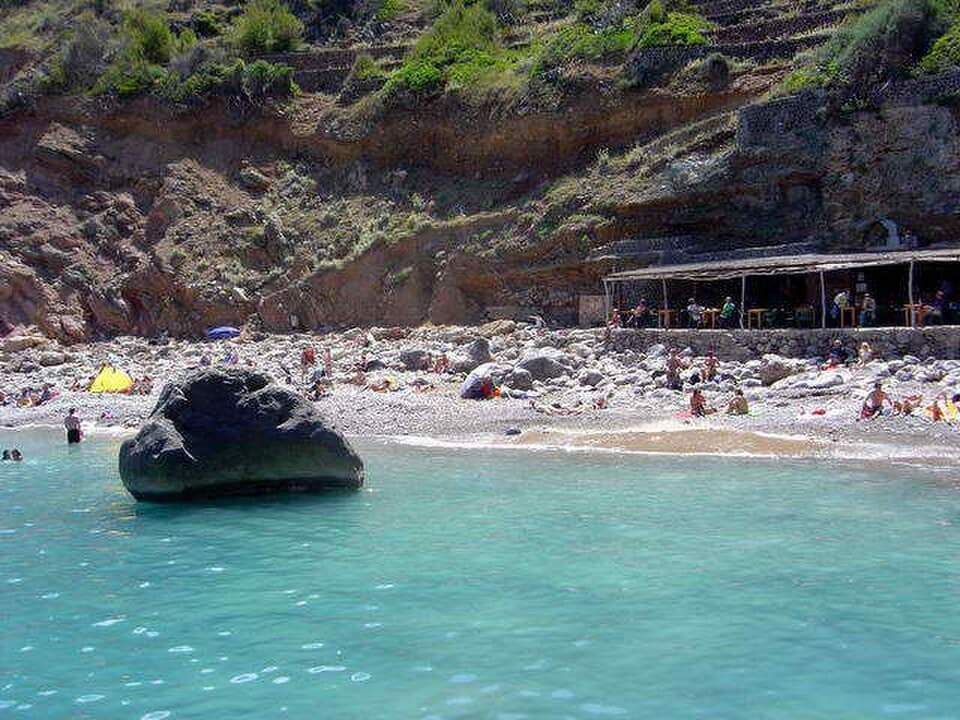
Bay & coastal landscape
A stony Mallorcan inlet where the coast keeps the scale of small-boat work
Serra de Tramuntana, Mallorca · España
Read the dossier →Image: Antoni Sureda · CC BY-SA 3.0 · Cropped to fit; full view in dossier.
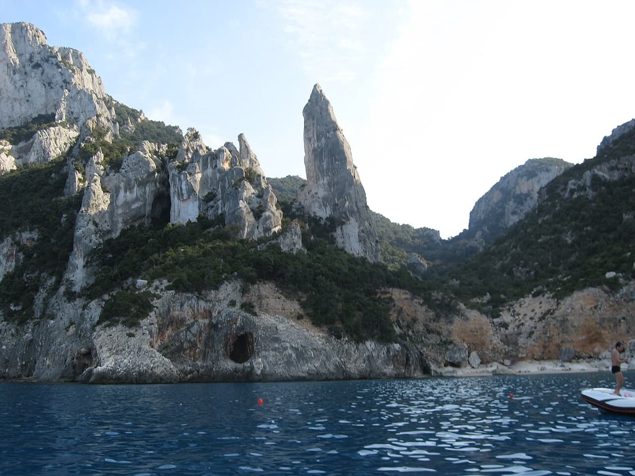
Bay & coastal landscape
A Sardinian inlet where a limestone pinnacle makes the mountain–sea relationship visible
Baunei, Sardinia · Italia
Read the dossier →Image: fotografia di Rosanna C. · CC BY 2.5 · Cropped to fit; full view in dossier.
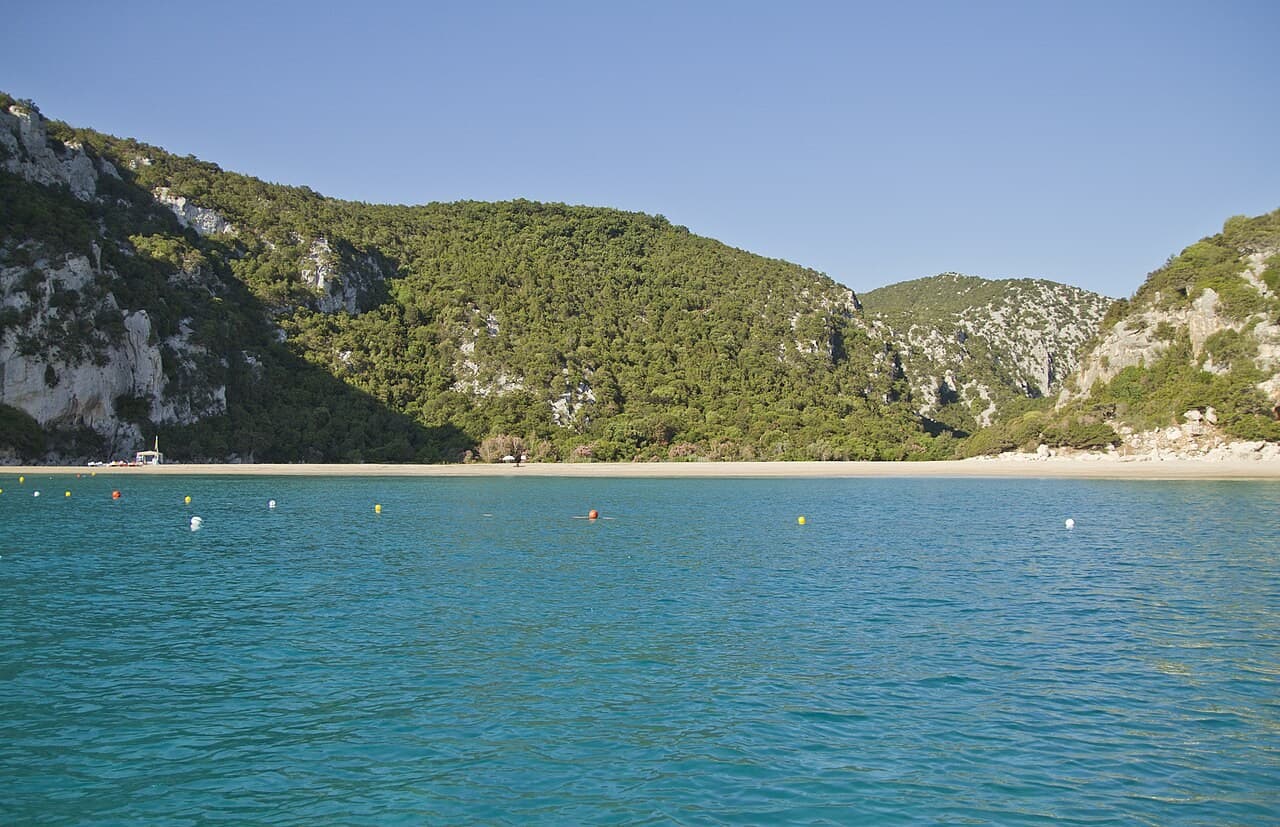
Bay & coastal landscape
A Gulf of Orosei cove connected to a canyon and the mouths of coastal caves
Gulf of Orosei, Sardinia · Italia
Read the dossier →Image: trolvag · CC BY-SA 3.0 · Cropped to fit; full view in dossier.
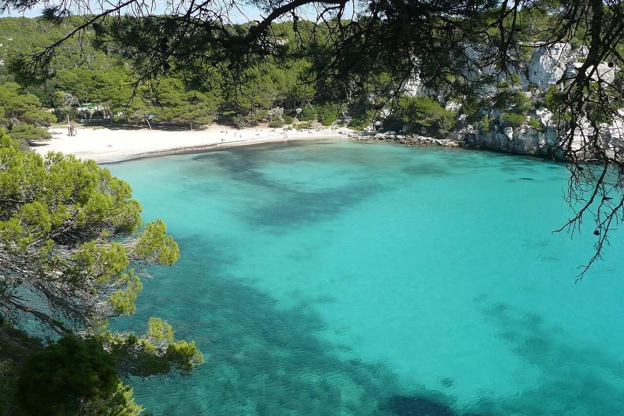
Bay & coastal landscape
A Menorcan cove whose beauty belongs to the whole inlet, not only its sand
Menorca · España
Read the dossier →Image: Paul Stephenson · CC BY 2.0 · Cropped to fit; full view in dossier.
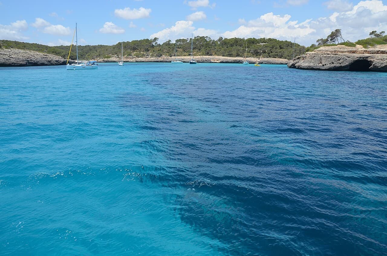
Bay & coastal landscape
A Mallorcan bay within a mosaic of beaches, dry-stone fields and protected habitats
Mallorca · España
Read the dossier →Image: Krisztina.Konczos · CC BY-SA 2.0 · Cropped to fit; full view in dossier.
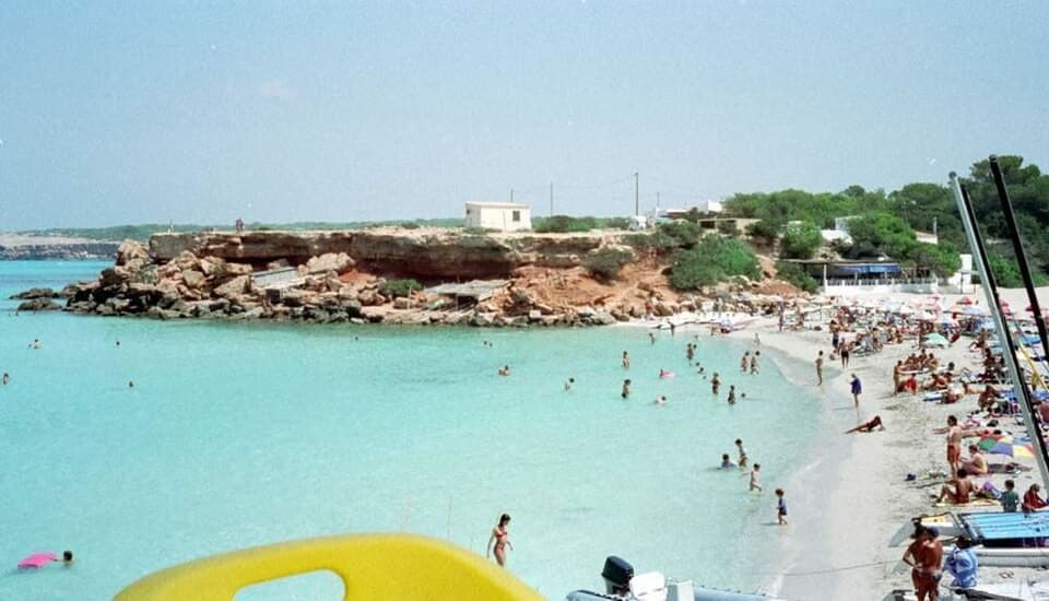
Bay & coastal landscape
A west-facing Formentera cove where boatsheds keep a working shoreline in view
Formentera · España
Read the dossier →Image: Elisabeth Conrad · CC BY-SA 1.0 · Cropped to fit; full view in dossier.
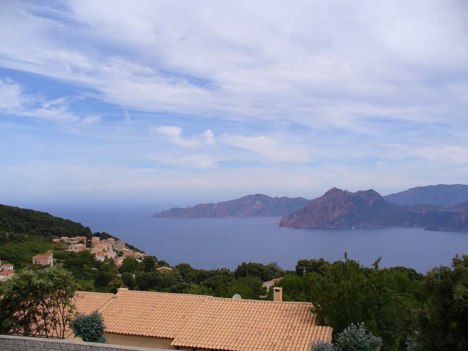
Bay & coastal landscape
A Corsican coastal landscape where dramatic rock and marine life require a wider frame
Western Corsica · Francia
Read the dossier →Image: jeffwarder · CC BY-SA 3.0 · Cropped to fit; full view in dossier.
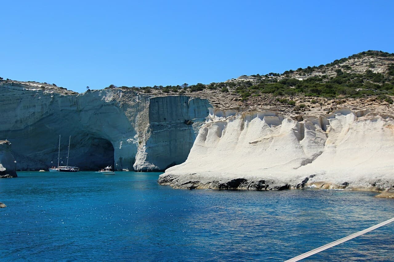
Bay & coastal landscape
A Milos coast where pale rock, caves and open water form a shifting architecture
Milos, Cyclades · Grecia
Read the dossier →Image: Zde · CC BY-SA 4.0 · Cropped to fit; full view in dossier.
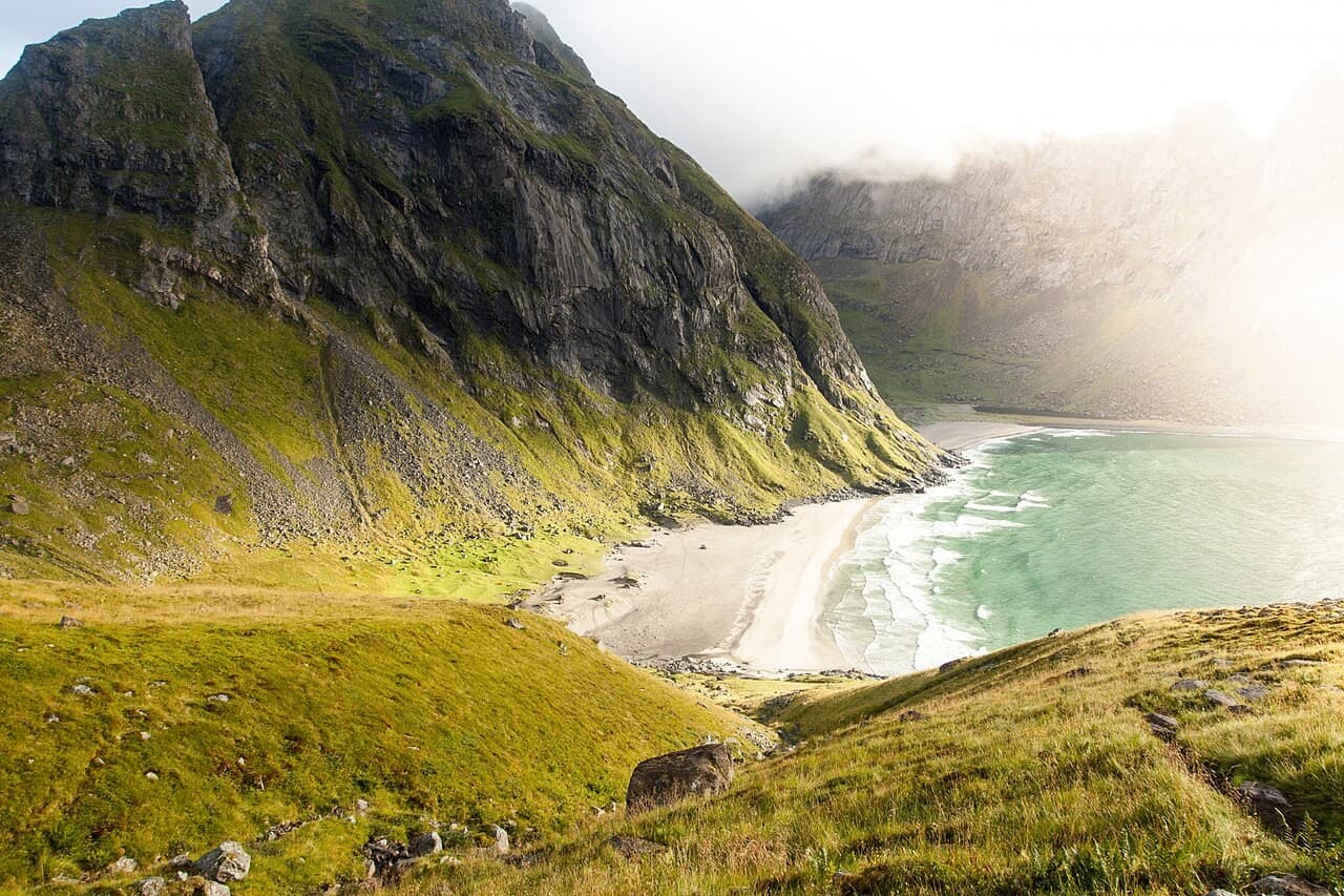
Bay & coastal landscape
A Lofoten beach where archaeological traces complicate the image of wilderness
Moskenesøya, Lofoten · Noruega
Read the dossier →Image: www.Pixel.la Free Stock Photos · CC0 · Cropped to fit; full view in dossier.
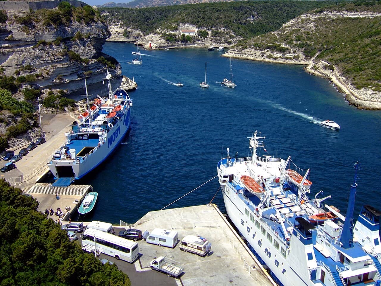
Historic harbour & citadel port
A narrow port beneath a citadel shaped by limestone and defence
Southern Corsica · Francia
Read the dossier →Image: Oxam Hartog · CC BY-SA 2.5 · Cropped to fit; full view in dossier.
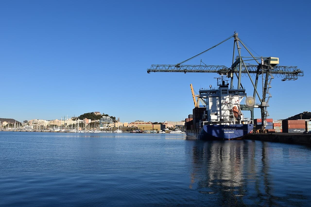
Historic harbour & citadel port
A Spanish Mediterranean port where archaeology meets a continuing maritime city
Region of Murcia · España
Read the dossier →Image: Niels Johannes · CC BY-SA 4.0 · Cropped to fit; full view in dossier.
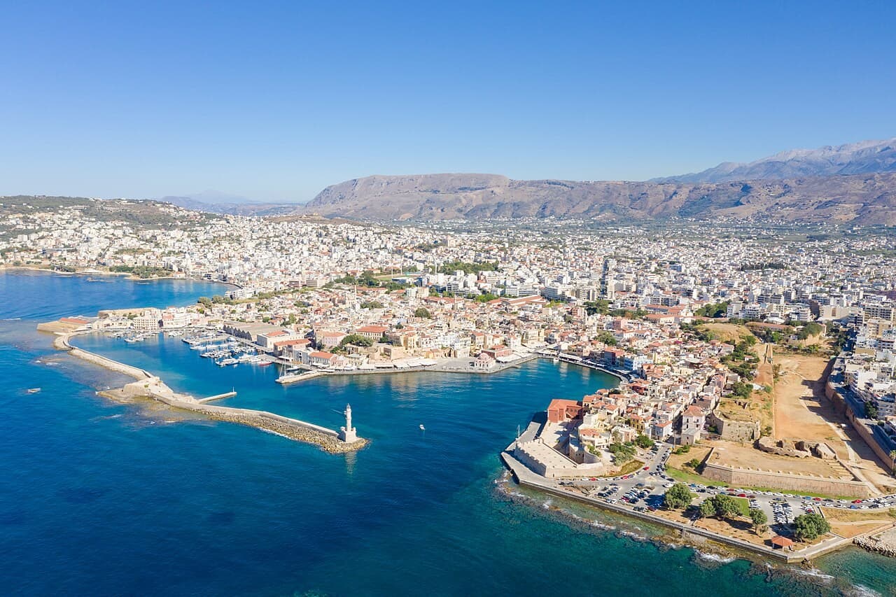
Historic harbour & citadel port
A Cretan harbour whose breakwater connects trade, defence and memory
Western Crete · Grecia
Read the dossier →Image: dronepicr · CC BY 2.0 · Cropped to fit; full view in dossier.

“Ciudadela Real de Mallorca y Puerto Catalán de la Côte Vermeille”
### La Historia Marítima Custodiado por los bastiones de esquisto del Castillo Real, el puerto de Collioure ocupa una ensenada natural donde la sierra de la Albera se sumerge en el Mediterráneo. Documentado en la antigüedad como Caucoliberis, entre 1276 y 1344 floreció como el principal puerto continental del Reino de Mallorca. Tras el Tratado de los Pirineos (1659), Vauban transformó el recinto medieval en una ciudadela fronteriza a partir de 1679. ### Arquitectura y Frente Marítimo El frente marítimo reúne tres monumentos históricos oficiales: el Castillo Real de Collioure (Base Mérimée PA00103998, clasificado el 14 de noviembre de 1922), la Iglesia de Notre-Dame-des-Anges (Base Mérimée PA00104000, clasificada el 3 de enero de 1923) adosada a la antigua torre-fanal medieval del puerto, y el renacentista Fort Saint-Elme (Base Mérimée PA00104003, inscrito el 2 de abril de 1927), erigido entre 1538 y 1552 bajo Carlos V.
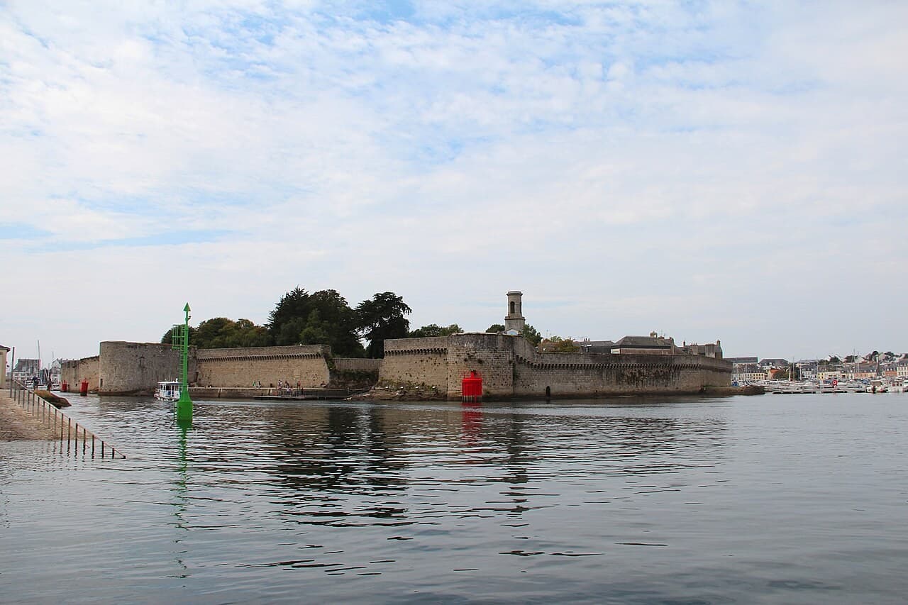
Historic harbour & citadel port
A fortified island at the centre of a continuing fishing-port story
Brittany · Francia
Read the dossier →Image: Jean-Pol GRANDMONT · CC BY 4.0 · Cropped to fit; full view in dossier.
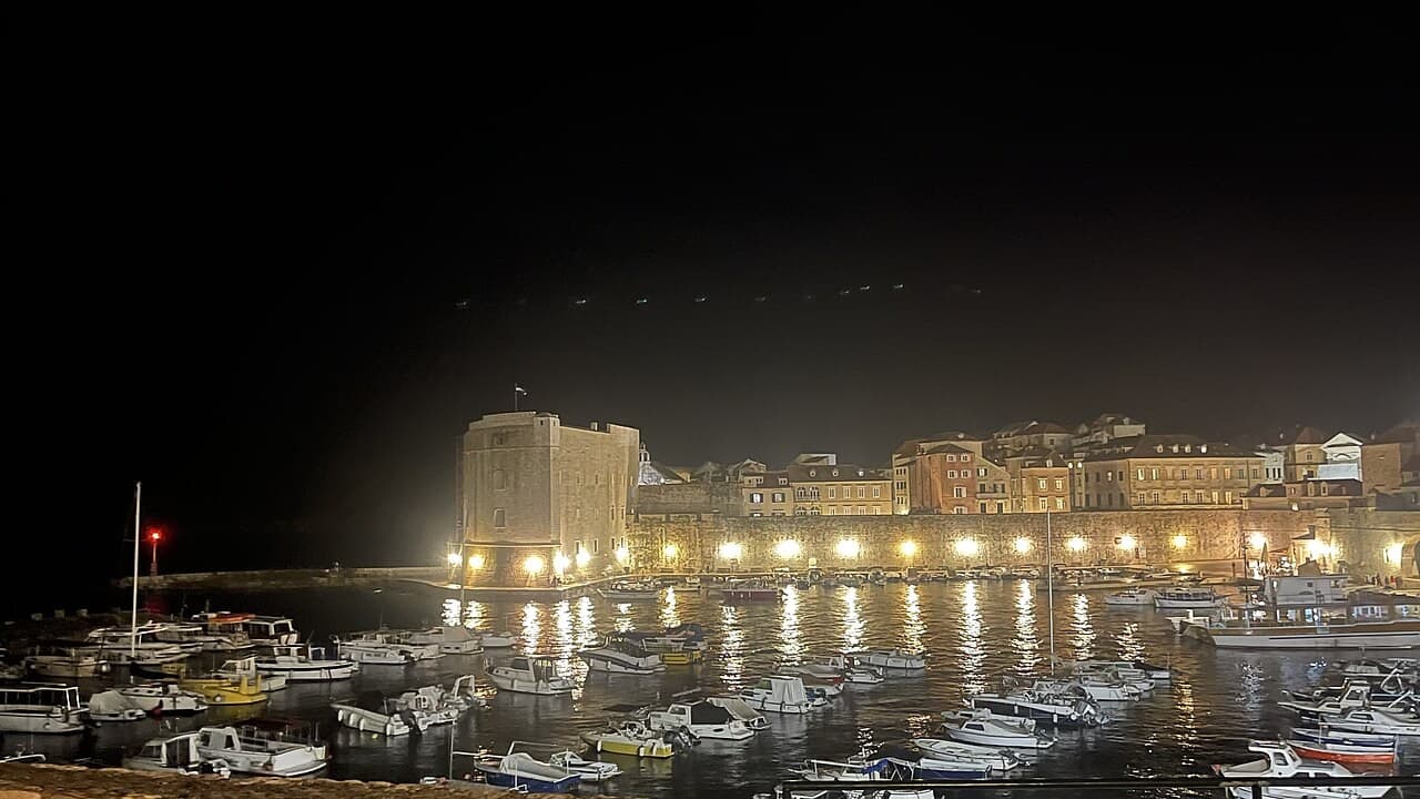
Historic harbour & citadel port
A compact harbour opening onto the history of an Adriatic sea power
Southern Dalmatia · Croacia
Read the dossier →Image: Emperor12345PL · CC BY-SA 4.0 · Cropped to fit; full view in dossier.
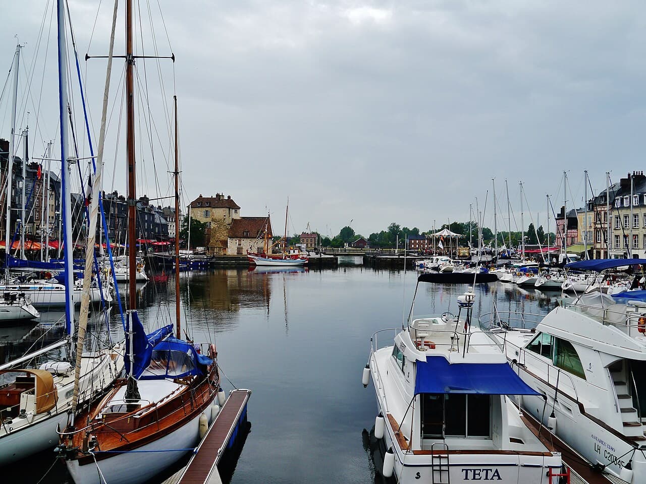
Historic harbour & citadel port
A Norman harbour where the basin is an engineered work of memory
Normandy · Francia
Read the dossier →Image: Zairon · CC BY-SA 4.0 · Cropped to fit; full view in dossier.
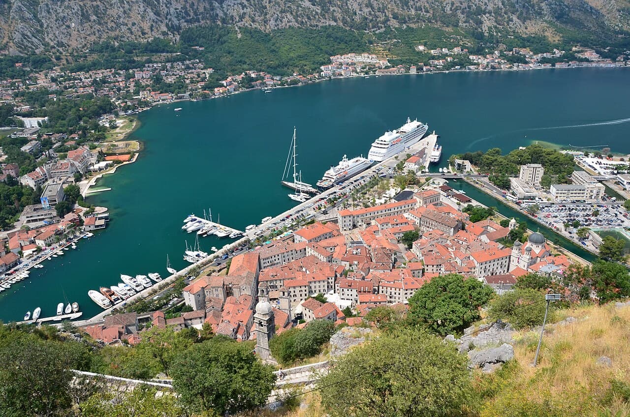
Historic harbour & citadel port
A fortified town within the steep, inhabited landscape of Boka Kotorska
Bay of Kotor · Montenegro
Read the dossier →Image: Gzzz · CC BY-SA 4.0 · Cropped to fit; full view in dossier.
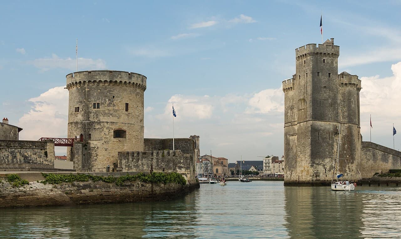
Historic harbour & citadel port
An Atlantic port read through towers, thresholds and civic power
Charente-Maritime · Francia
Read the dossier →Image: Jebulon · CC0 · Cropped to fit; full view in dossier.


