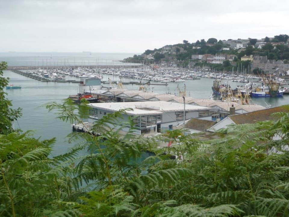
Fischereihafen
Brixham
A Devon fishing harbour where boat design and the town’s economy meet
South Devon · Vereinigtes Königreich
Dossier lesen →Bild: Chris Downer · CC BY-SA 2.0 · Zugeschnitten; vollständiges Bild im Dossier.
Entdecken Sie Europas historische Häfen, Fischerdörfer und Buchten anhand dokumentierter Geschichte, Küstenlandschaften und einzeln nachgewiesener Fotos.
54 Orte · Seite 1 von 3
Fischereihafen
A Devon fishing harbour where boat design and the town’s economy meet
South Devon · Vereinigtes Königreich
Dossier lesen →Bild: Chris Downer · CC BY-SA 2.0 · Zugeschnitten; vollständiges Bild im Dossier.

“Whitewashed Amphitheatre of Cap de Creus & Catalan Lateen Heritage”
### The Maritime Story Separated from the Empordà plain for centuries by the rugged slate ridges of the Serra de Rodes and the pass of Perafita and el Pení, Cadaqués developed almost entirely by way of the sea. Documented in the medieval archives of the monastery of Sant Pere de Rodes and the County of Empúries, the community endured repeated corsair incursions across the western Mediterranean, including devastating Ottoman and Barbary raids in 1543 under Hayreddin Barbarossa that burned the original parish church and coastal watchtowers. Rebuilding their town as a dense whitewashed amphitheatre around the sheltered coves of Port Alguer and Platja Gran, the mariners of Cadaqués sustained a distinctive seafaring economy founded on red coral harvesting, coastal anchovy and sardine net-fishing, and maritime trade with Barcelona, Marseille, Genoa, and nineteenth-century Cuba—whose returning indianos enriched the waterfront with neoclassical and Modernista townhouses. ### Architecture & Waterfront The historic core of the town is officially protected by the Generalitat de Catalunya as the Conjunt històric de Cadaqués (Inventari del Patrimoni Arquitectònic de Catalunya IPAC 10935, declared Bé Cultural d'Interès Nacional BCIN 1939-CH-EN / BIC RI-53-0000485). Commanding the summit of the old quarter stands the late-Gothic and Baroque parish church of Santa Maria de Cadaqués (IPAC 17945), rebuilt from the mid-16th to the 18th century; its single-nave interior houses one of the finest Baroque wood altarpieces in Catalonia (1723–1788), a 23-metre gilded retaule major designed by the Vic sculptors Pau Costa and Jacint Morató and completed with Joan Torras, financed by the local fishermen's guild using taxes levied on holiday fish catches. Beneath the church wind steep lanes paved in es rastell—sea-smoothed dark slate slabs set on edge in herringbone patterns—descending to the medieval coastal bastion of the Torre des Baluard (Castell de Cadaqués, IPAC 648 / BCIN 568-MH / BIC RI-51-0005822). In the adjacent northern cove of Portlligat stands the labyrinthine fishermen's compound of the Casa Salvador Dalí de Portlligat (IPAC 11811 / BCIN 1949-MH-EN / BIC RI-51-0009157), while the seaward headlands are marked by the historic lighthouses of Far de Cap de Creus (IPAC 17955) and Far de Cala Nans (IPAC 17956, inaugurated in 1864).
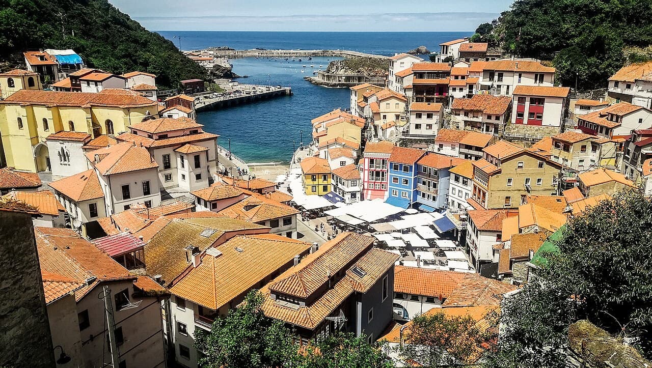
Fischereihafen
An Asturian fishing town whose buildings rise around a concentrated maritime edge
Asturias · Spanien
Dossier lesen →Bild: Vilanchelo · CC BY-SA 4.0 · Zugeschnitten; vollständiges Bild im Dossier.
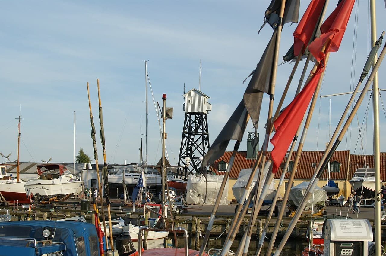
Fischereihafen
An Øresund port whose small houses preserve the scale of a seafaring town
Amager, Øresund · Dänemark
Dossier lesen →Bild: Jens Cederskjold · CC BY 3.0 · Zugeschnitten; vollständiges Bild im Dossier.
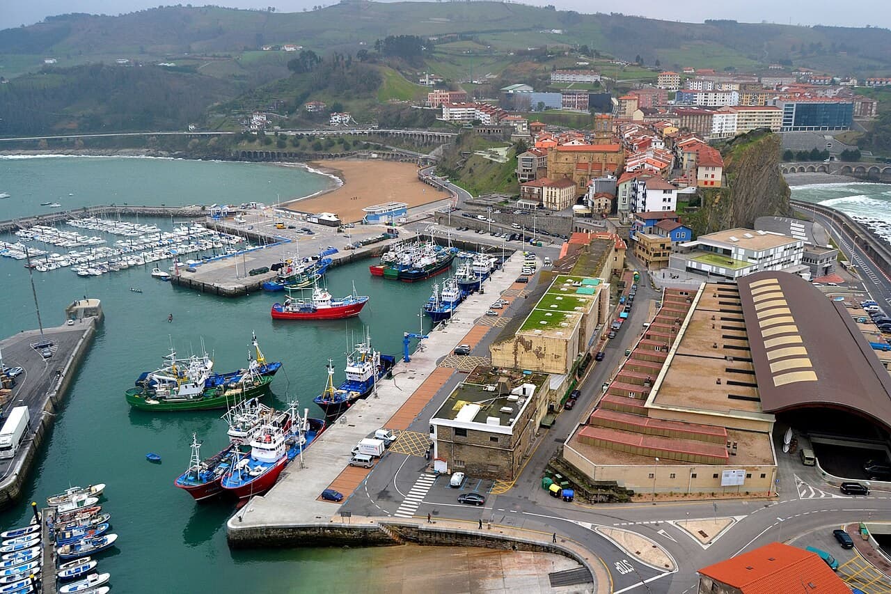
Fischereihafen
A Basque port where San Antón and the town frame a continuing fishery
Basque coast · Spanien
Dossier lesen →Bild: Euskalduna · CC BY 3.0 · Zugeschnitten; vollständiges Bild im Dossier.
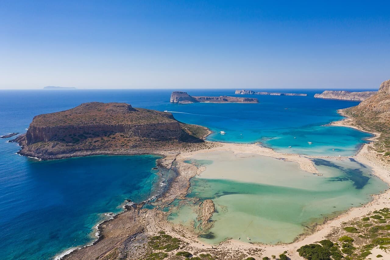
Bucht und Küstenlandschaft
A western Cretan lagoon whose shallow colours belong to a fragile coastal form
Gramvousa, western Crete · Griechenland
Dossier lesen →Bild: dronepicr · CC BY 2.0 · Zugeschnitten; vollständiges Bild im Dossier.
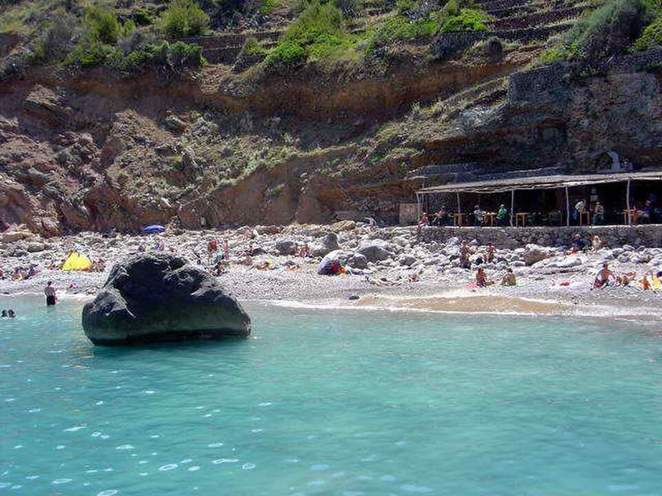
Bucht und Küstenlandschaft
A stony Mallorcan inlet where the coast keeps the scale of small-boat work
Serra de Tramuntana, Mallorca · Spanien
Dossier lesen →Bild: Antoni Sureda · CC BY-SA 3.0 · Zugeschnitten; vollständiges Bild im Dossier.
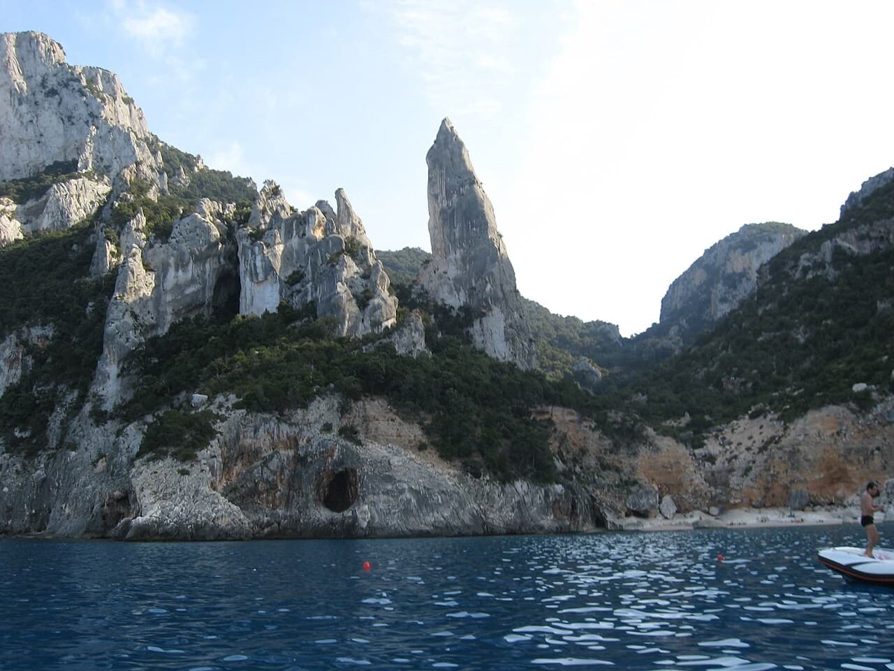
Bucht und Küstenlandschaft
A Sardinian inlet where a limestone pinnacle makes the mountain–sea relationship visible
Baunei, Sardinia · Italien
Dossier lesen →Bild: fotografia di Rosanna C. · CC BY 2.5 · Zugeschnitten; vollständiges Bild im Dossier.
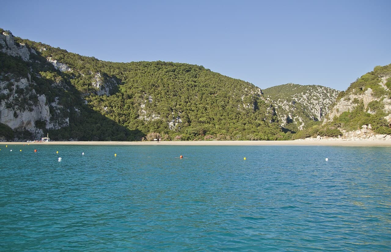
Bucht und Küstenlandschaft
A Gulf of Orosei cove connected to a canyon and the mouths of coastal caves
Gulf of Orosei, Sardinia · Italien
Dossier lesen →Bild: trolvag · CC BY-SA 3.0 · Zugeschnitten; vollständiges Bild im Dossier.
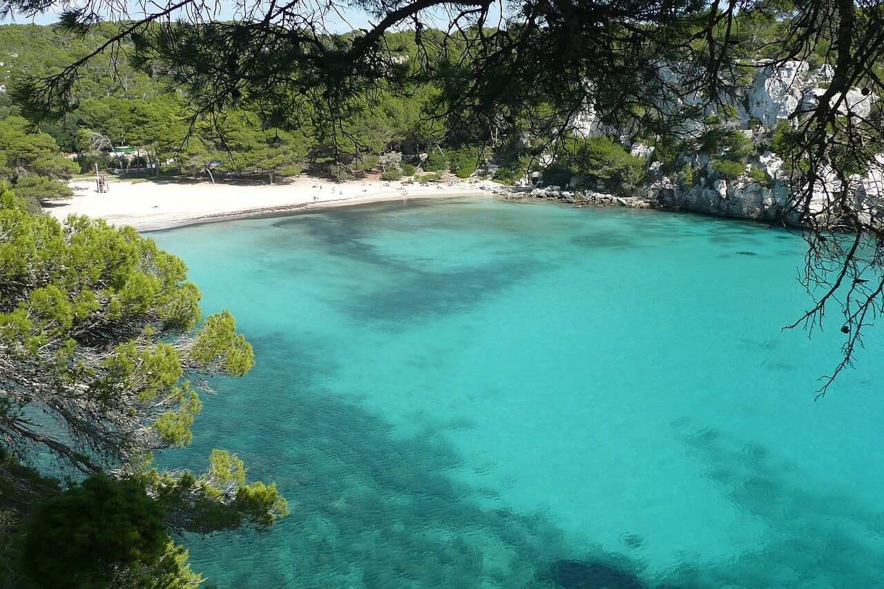
Bucht und Küstenlandschaft
A Menorcan cove whose beauty belongs to the whole inlet, not only its sand
Menorca · Spanien
Dossier lesen →Bild: Paul Stephenson · CC BY 2.0 · Zugeschnitten; vollständiges Bild im Dossier.
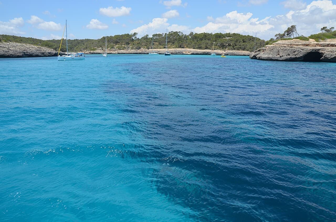
Bucht und Küstenlandschaft
A Mallorcan bay within a mosaic of beaches, dry-stone fields and protected habitats
Mallorca · Spanien
Dossier lesen →Bild: Krisztina.Konczos · CC BY-SA 2.0 · Zugeschnitten; vollständiges Bild im Dossier.
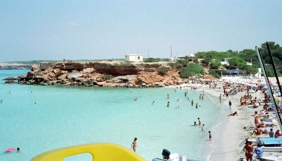
Bucht und Küstenlandschaft
A west-facing Formentera cove where boatsheds keep a working shoreline in view
Formentera · Spanien
Dossier lesen →Bild: Elisabeth Conrad · CC BY-SA 1.0 · Zugeschnitten; vollständiges Bild im Dossier.
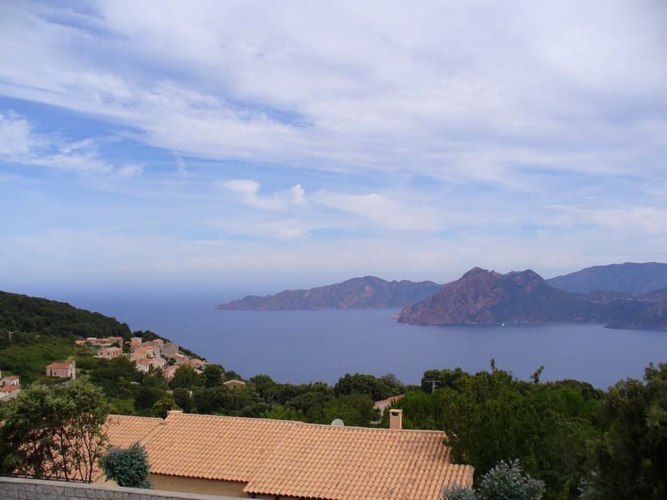
Bucht und Küstenlandschaft
A Corsican coastal landscape where dramatic rock and marine life require a wider frame
Western Corsica · Frankreich
Dossier lesen →Bild: jeffwarder · CC BY-SA 3.0 · Zugeschnitten; vollständiges Bild im Dossier.
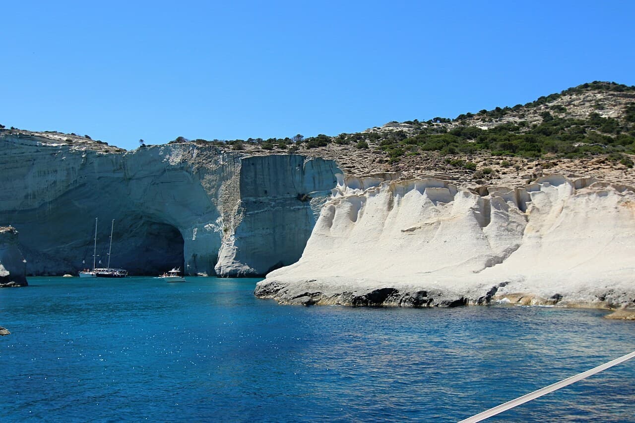
Bucht und Küstenlandschaft
A Milos coast where pale rock, caves and open water form a shifting architecture
Milos, Cyclades · Griechenland
Dossier lesen →Bild: Zde · CC BY-SA 4.0 · Zugeschnitten; vollständiges Bild im Dossier.
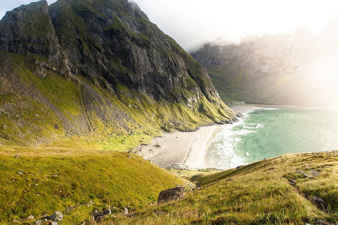
Bucht und Küstenlandschaft
A Lofoten beach where archaeological traces complicate the image of wilderness
Moskenesøya, Lofoten · Norwegen
Dossier lesen →Bild: www.Pixel.la Free Stock Photos · CC0 · Zugeschnitten; vollständiges Bild im Dossier.
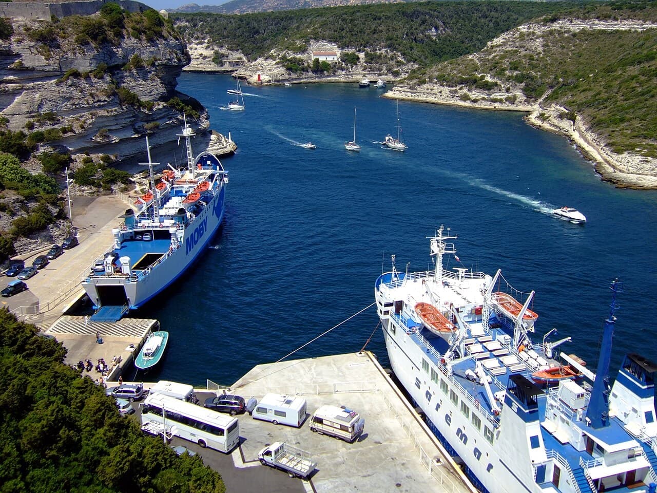
Historischer Hafen und Festungshafen
A narrow port beneath a citadel shaped by limestone and defence
Southern Corsica · Frankreich
Dossier lesen →Bild: Oxam Hartog · CC BY-SA 2.5 · Zugeschnitten; vollständiges Bild im Dossier.
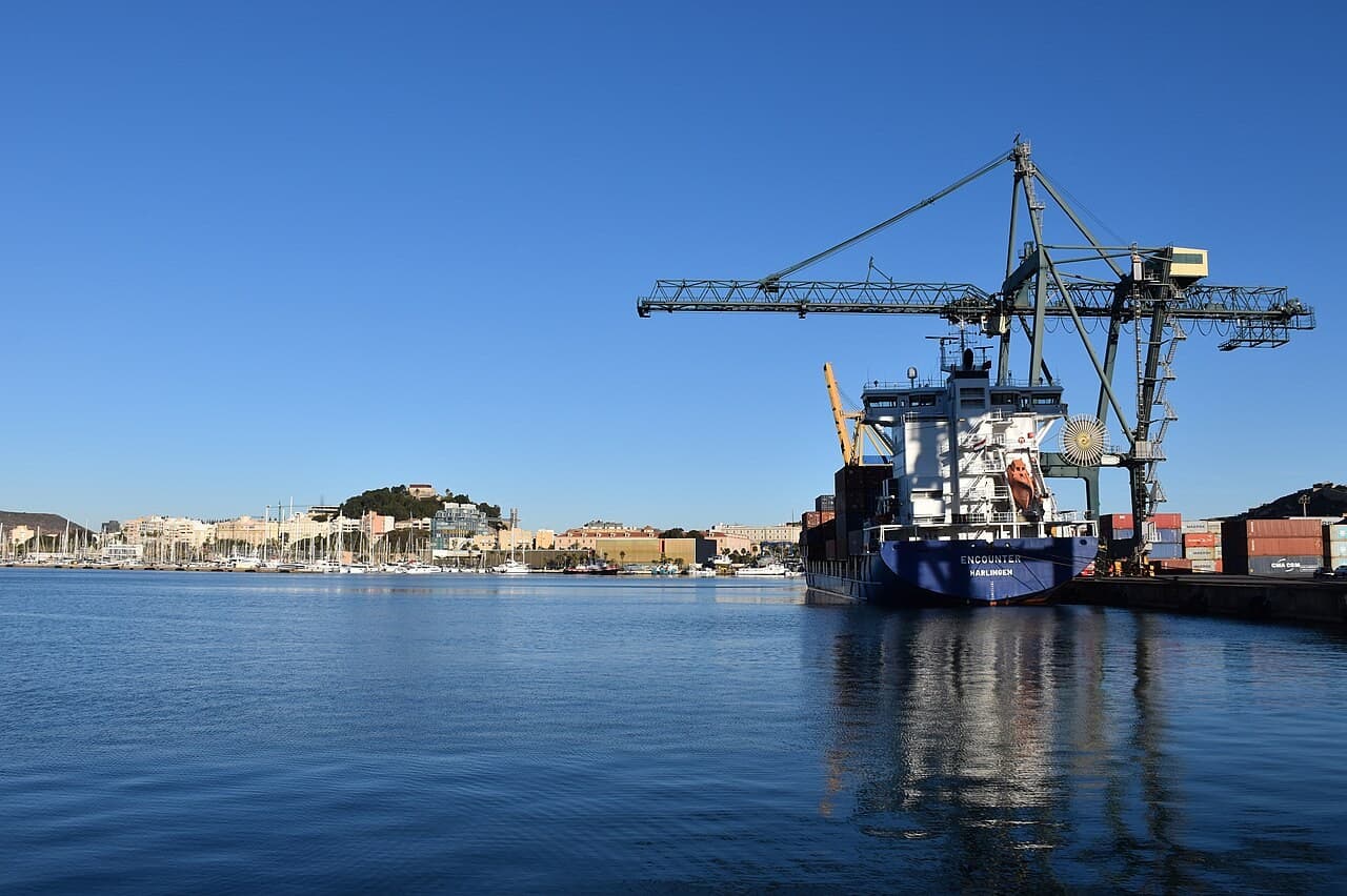
Historischer Hafen und Festungshafen
A Spanish Mediterranean port where archaeology meets a continuing maritime city
Region of Murcia · Spanien
Dossier lesen →Bild: Niels Johannes · CC BY-SA 4.0 · Zugeschnitten; vollständiges Bild im Dossier.
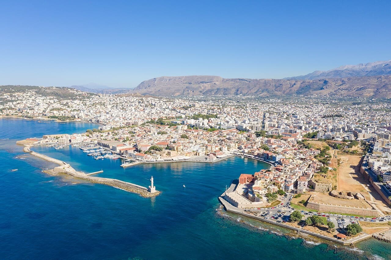
Historischer Hafen und Festungshafen
A Cretan harbour whose breakwater connects trade, defence and memory
Western Crete · Griechenland
Dossier lesen →Bild: dronepicr · CC BY 2.0 · Zugeschnitten; vollständiges Bild im Dossier.

“Royal Majorcan Citadel & Catalan Lateen Haven of the Côte Vermeille”
### The Maritime Story Guarded by the schist bastions of the Château Royal, the harbour of Collioure occupies a sheltered trilobed cove where the Albères range—the easternmost spur of the Pyrenees—descends directly into the Mediterranean. Recorded in late antiquity as Caucoliberis, the anchorage served as a coastal entrepôt for Iberian, Phoenician, and Roman vessels trading along the Golfe du Lion. Between 1276 and 1344, Collioure flourished as the principal continental port of the Kings of Majorca, whose court resided at nearby Perpignan and within the harbour fortress itself. Catalan merchant galleys cleared the bay laden with Roussillon woollens, olive oil, wine, and salted fish bound for Barcelona, Genoa, and the Levant. Following the Treaty of the Pyrenees in 1659, Collioure passed to the French Crown; from 1679, Sébastien Le Prestre de Vauban reshaped the medieval stronghold into a formidable frontier citadel, razing the old upper town to clear artillery fields of fire. ### Architecture & Waterfront The waterfront of Collioure is defined by three nationally protected monuments recorded in the French Base Mérimée. Dividing the twin basins of Port d'Avall and Port d'Amont, the Château Royal de Collioure (Base Mérimée PA00103998, classified Monument Historique on 14 November 1922) preserves its 13th- to 14th-century Majorcan royal apartments and Gothic hall inside 16th-century Habsburg and 17th-century Vauban curtain walls. At the northern mole of the bay rises the Église Notre-Dame-des-Anges (Base Mérimée PA00104000, classified Monument Historique on 3 January 1923), built between 1684 and 1691 around a circular medieval harbour watchtower and beacon that was subsequently crowned with its distinctive Tuscan dome in 1810. High on the ridge between Collioure and Port-Vendres stands Fort Saint-Elme (Base Mérimée PA00104003, inscribed Monument Historique on 2 April 1927), a star-shaped Renaissance artillery fort erected between 1538 and 1552 under Emperor Charles V to designs by Benedetto da Ravenna and reinforced by Vauban in the 1680s.
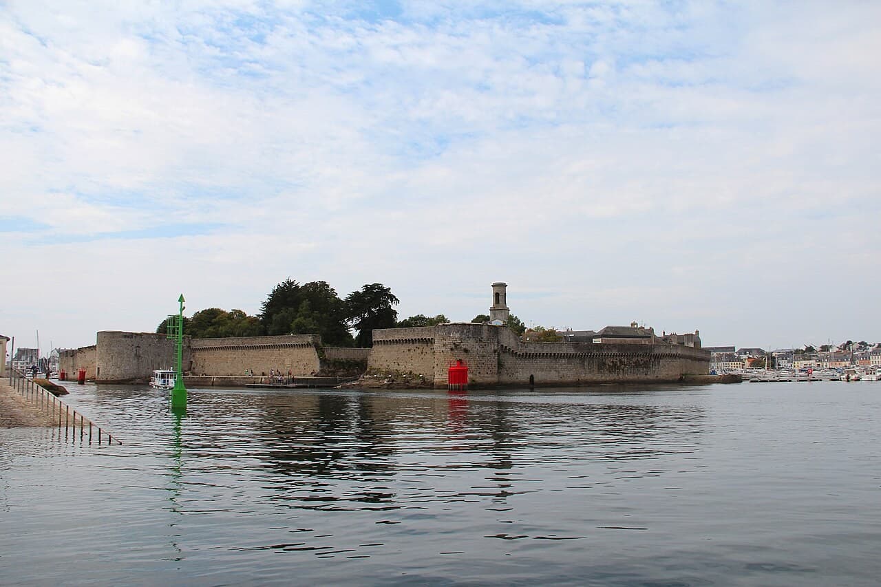
Historischer Hafen und Festungshafen
A fortified island at the centre of a continuing fishing-port story
Brittany · Frankreich
Dossier lesen →Bild: Jean-Pol GRANDMONT · CC BY 4.0 · Zugeschnitten; vollständiges Bild im Dossier.
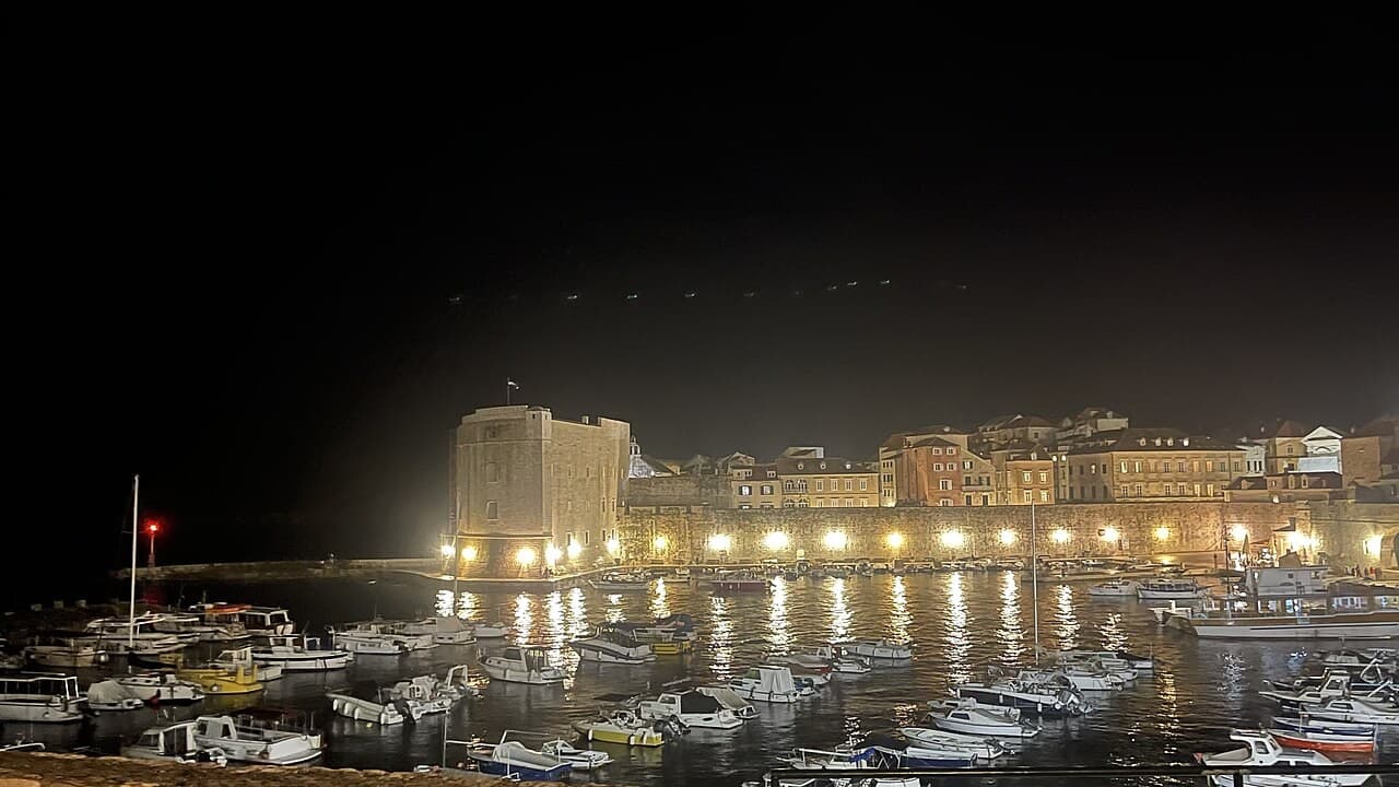
Historischer Hafen und Festungshafen
A compact harbour opening onto the history of an Adriatic sea power
Southern Dalmatia · Kroatien
Dossier lesen →Bild: Emperor12345PL · CC BY-SA 4.0 · Zugeschnitten; vollständiges Bild im Dossier.
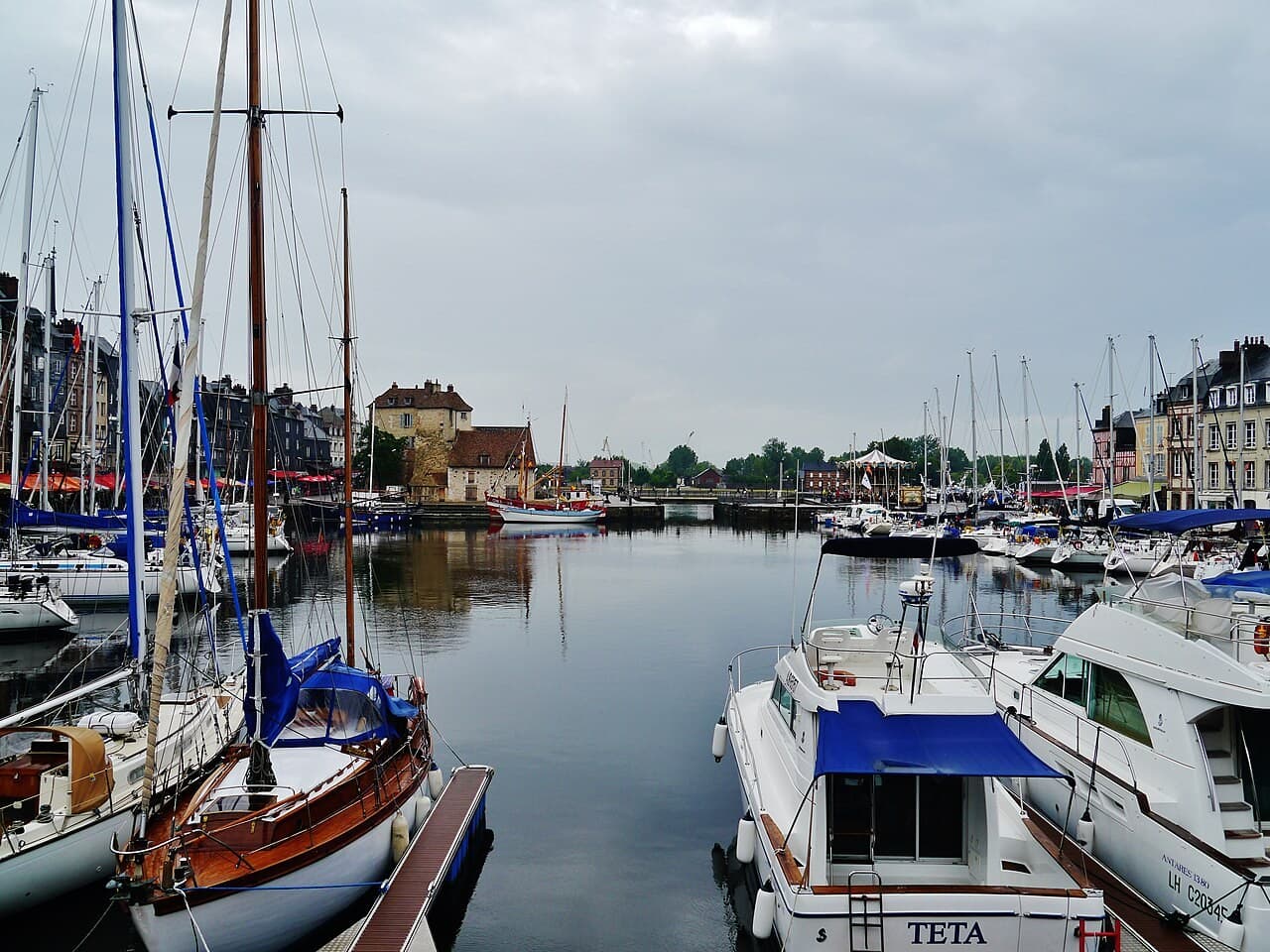
Historischer Hafen und Festungshafen
A Norman harbour where the basin is an engineered work of memory
Normandy · Frankreich
Dossier lesen →Bild: Zairon · CC BY-SA 4.0 · Zugeschnitten; vollständiges Bild im Dossier.
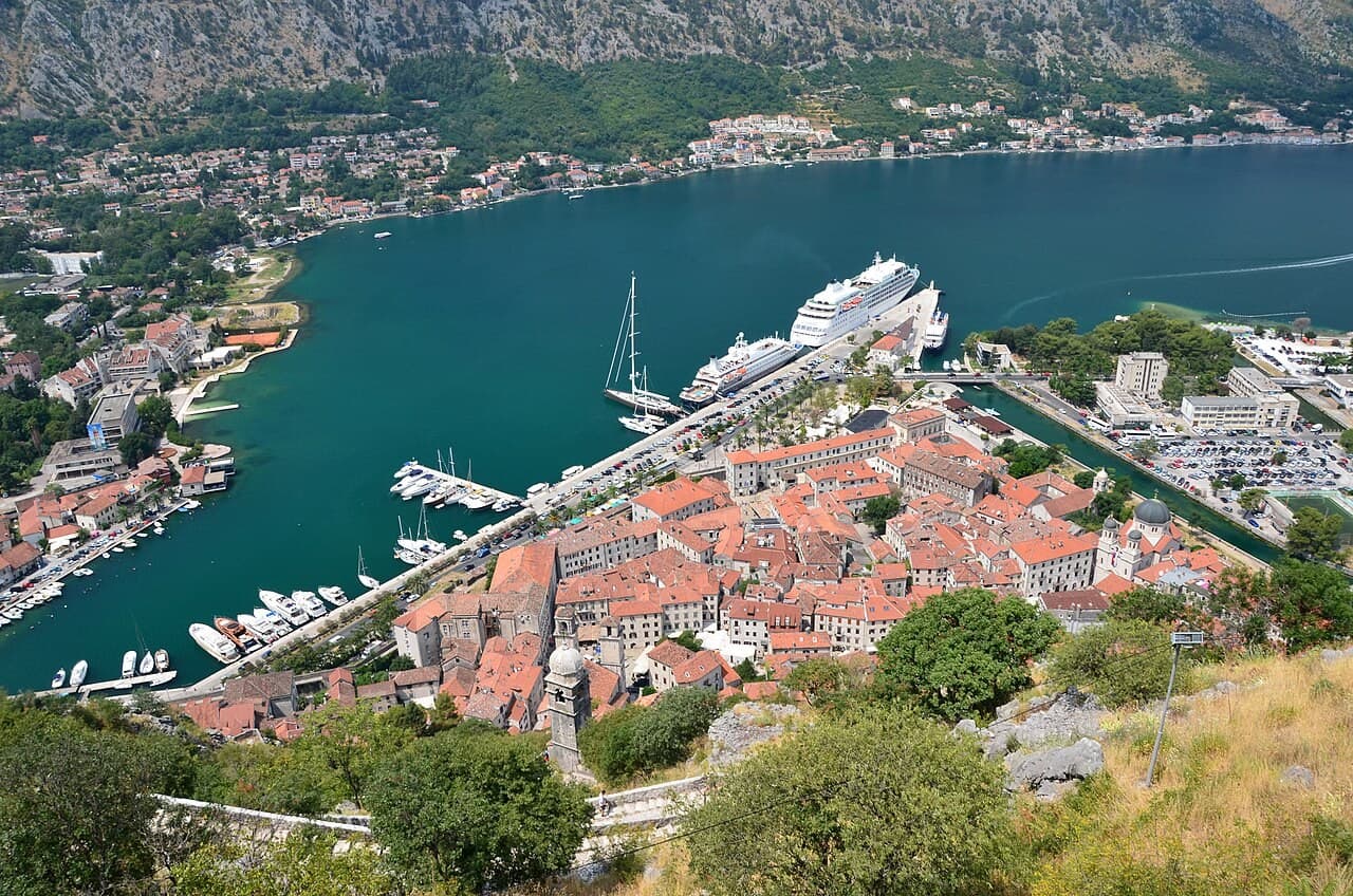
Historischer Hafen und Festungshafen
A fortified town within the steep, inhabited landscape of Boka Kotorska
Bay of Kotor · Montenegro
Dossier lesen →Bild: Gzzz · CC BY-SA 4.0 · Zugeschnitten; vollständiges Bild im Dossier.
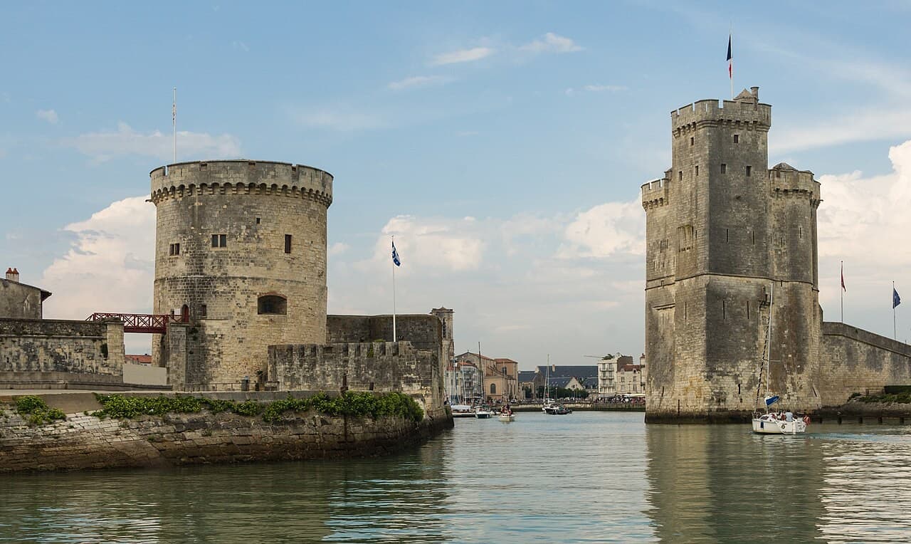
Historischer Hafen und Festungshafen
An Atlantic port read through towers, thresholds and civic power
Charente-Maritime · Frankreich
Dossier lesen →Bild: Jebulon · CC0 · Zugeschnitten; vollständiges Bild im Dossier.


