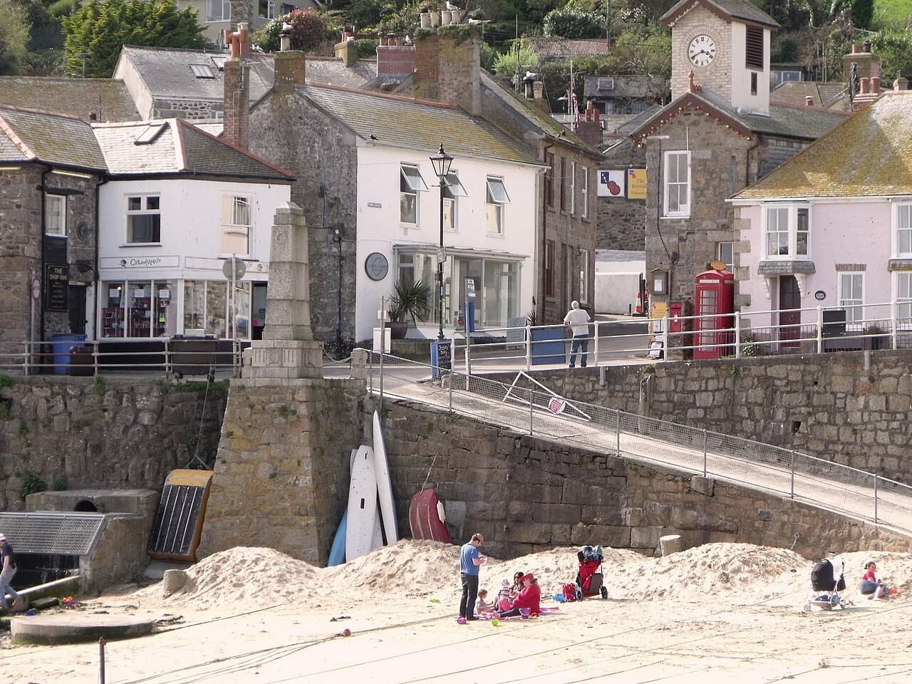
Fischereihafen
Mousehole
A compact Cornish harbour whose changing water level reveals its working shape
Cornwall · Vereinigtes Königreich
Dossier lesen →Bild: nick macneill · CC BY-SA 2.0 · Zugeschnitten; vollständiges Bild im Dossier.
Entdecken Sie Europas historische Häfen, Fischerdörfer und Buchten anhand dokumentierter Geschichte, Küstenlandschaften und einzeln nachgewiesener Fotos.
54 Orte · Seite 2 von 3
Fischereihafen
A compact Cornish harbour whose changing water level reveals its working shape
Cornwall · Vereinigtes Königreich
Dossier lesen →Bild: nick macneill · CC BY-SA 2.0 · Zugeschnitten; vollständiges Bild im Dossier.
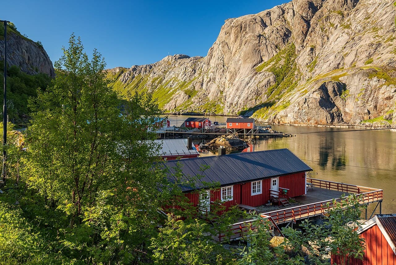
Fischereihafen
A Lofoten fishing settlement where buildings make the shore’s working history legible
Flakstad, Lofoten · Norwegen
Dossier lesen →Bild: Ximonic (Simo Räsänen) · CC BY-SA 4.0 · Zugeschnitten; vollständiges Bild im Dossier.
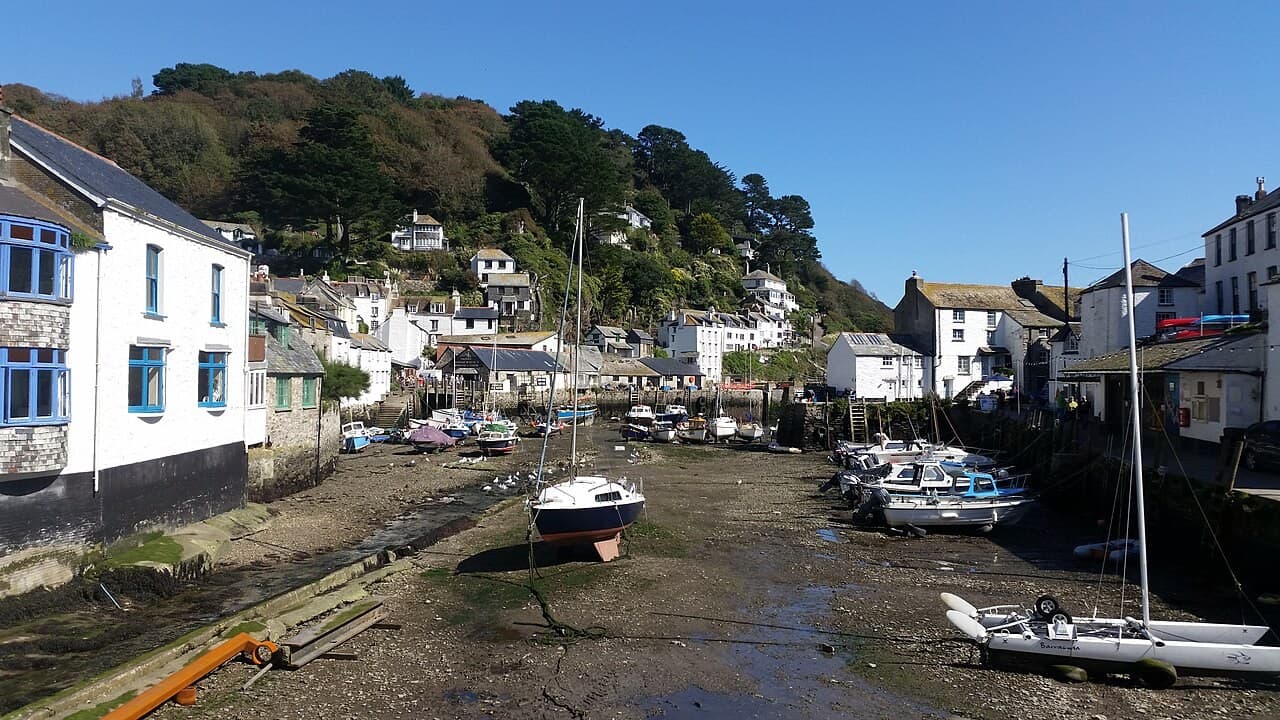
Fischereihafen
A Cornish fishing harbour with a museum inside its industrial memory
Cornwall · Vereinigtes Königreich
Dossier lesen →Bild: Partonez · CC BY-SA 4.0 · Zugeschnitten; vollständiges Bild im Dossier.
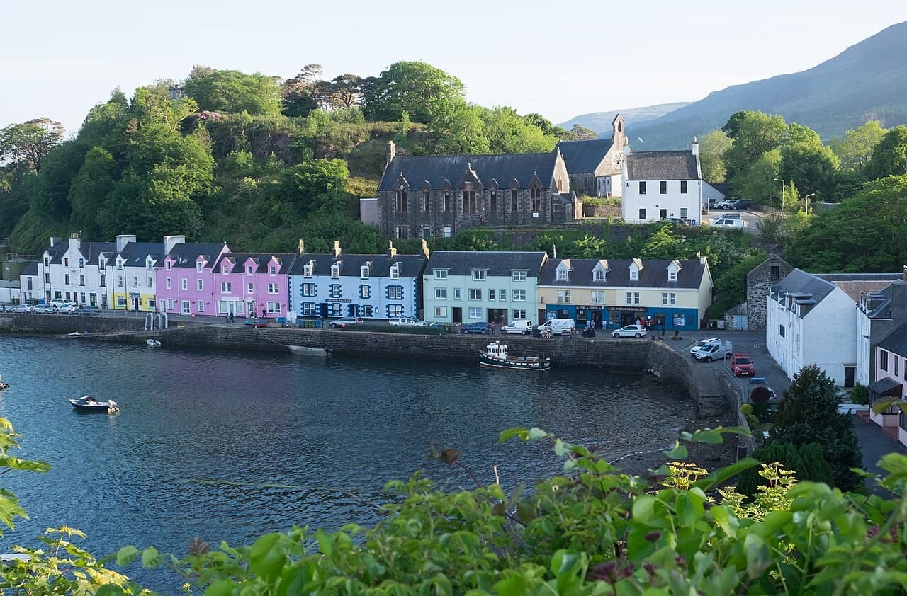
Fischereihafen
A Skye harbour where a colourful frontage meets a continuing island economy
Isle of Skye · Vereinigtes Königreich
Dossier lesen →Bild: DeFacto · CC BY-SA 4.0 · Zugeschnitten; vollständiges Bild im Dossier.
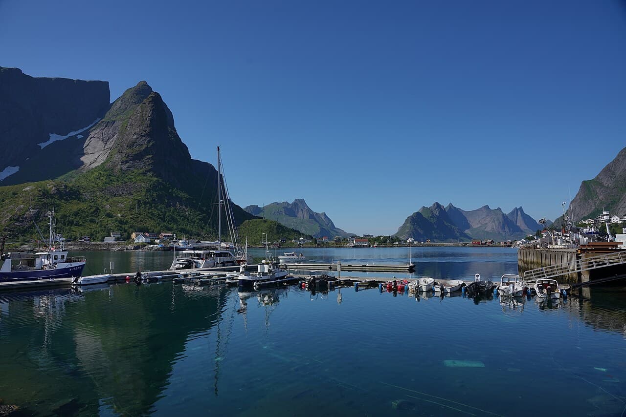
Fischereihafen
An active Lofoten fishing village between islands, mountains and two bodies of water
Lofoten · Norwegen
Dossier lesen →Bild: Lukas Beck · CC BY 4.0 · Zugeschnitten; vollständiges Bild im Dossier.
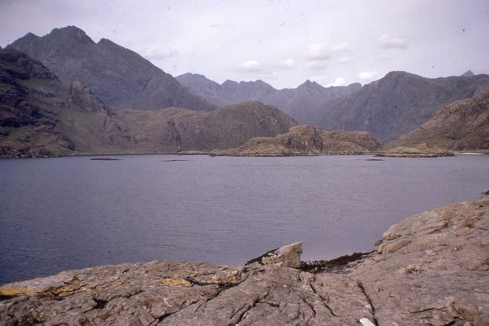
Bucht und Küstenlandschaft
A Skye sea loch whose visible mountains conceal another landscape beneath the surface
Isle of Skye · Vereinigtes Königreich
Dossier lesen →Bild: Jim Barton · CC BY-SA 2.0 · Zugeschnitten; vollständiges Bild im Dossier.
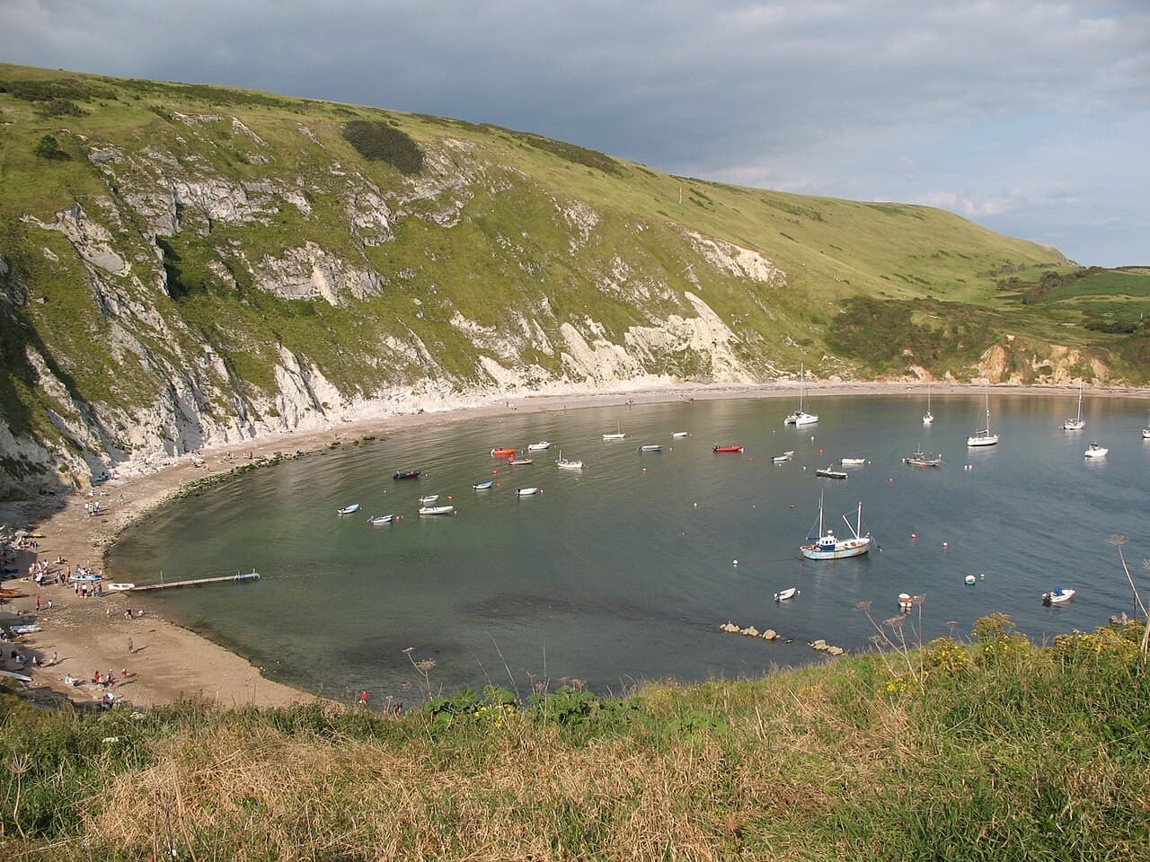
Bucht und Küstenlandschaft
A Dorset cove where the shape of the coast becomes an introduction to geological time
Dorset · Vereinigtes Königreich
Dossier lesen →Bild: Paste at English Wikipedia · Public domain · Zugeschnitten; vollständiges Bild im Dossier.
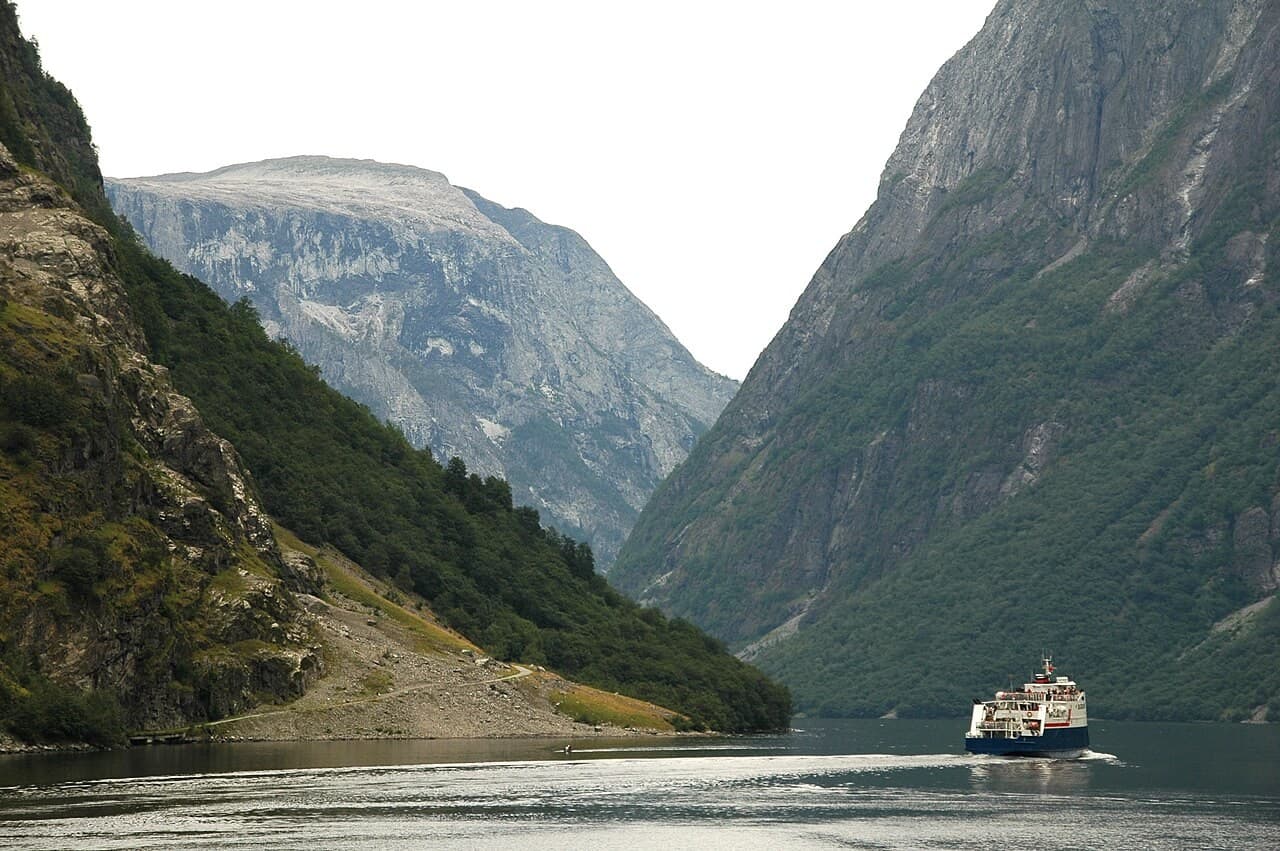
Bucht und Küstenlandschaft
A Norwegian inlet where steep rock and inhabited shores reveal the scale of a fjord
Western Norwegian fjords · Norwegen
Dossier lesen →Bild: qwesy qwesy · CC BY 3.0 · Zugeschnitten; vollständiges Bild im Dossier.
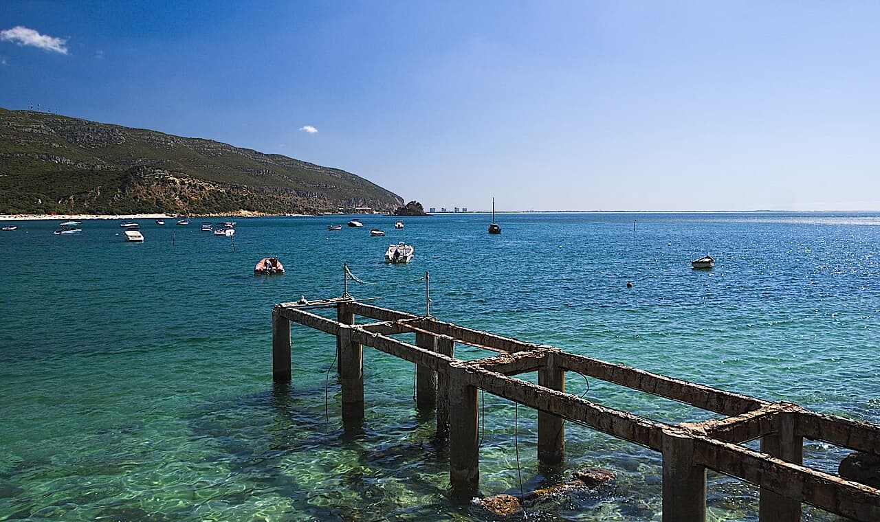
Bucht und Küstenlandschaft
A Portuguese bay whose sheltered-looking shore belongs to a larger mountain and estuary landscape
Setúbal Peninsula · Portugal
Dossier lesen →Bild: Juntas · CC BY-SA 4.0 · Zugeschnitten; vollständiges Bild im Dossier.
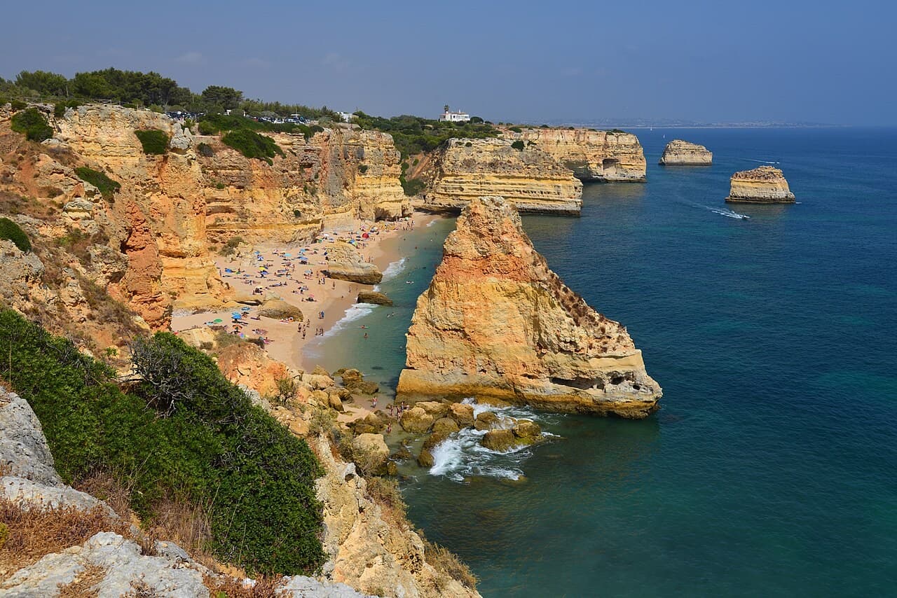
Bucht und Küstenlandschaft
An Algarve cove where erosion gives the cliff line its distinctive rhythm
Lagoa, Algarve · Portugal
Dossier lesen →Bild: Tobi 87 · CC BY-SA 3.0 · Zugeschnitten; vollständiges Bild im Dossier.
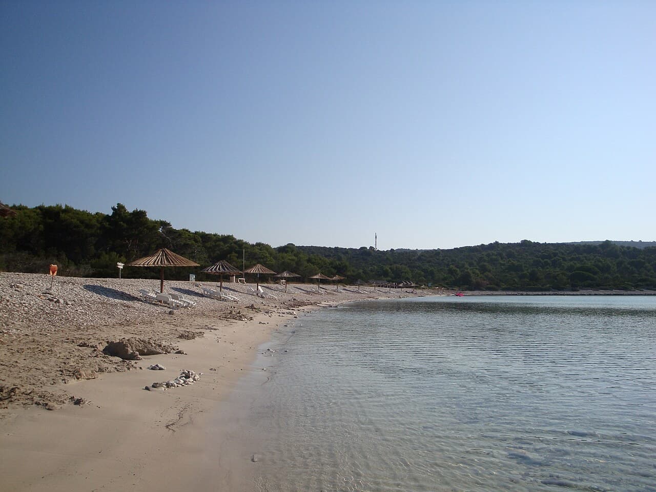
Bucht und Küstenlandschaft
A Dugi Otok bay whose pale shore carries evidence of life beneath the water
Dugi Otok · Kroatien
Dossier lesen →Bild: Mich973 · CC BY-SA 4.0 · Zugeschnitten; vollständiges Bild im Dossier.
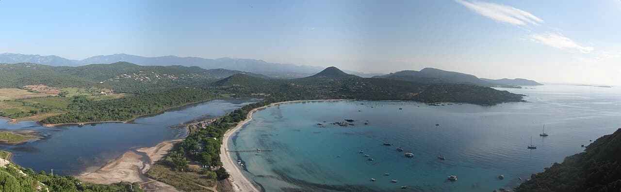
Bucht und Küstenlandschaft
A southern Corsican bay read between sand, lagoon and the land behind the beach
Southern Corsica · Frankreich
Dossier lesen →Bild: TeletubAstyanax · CC BY-SA 4.0 · Zugeschnitten; vollständiges Bild im Dossier.
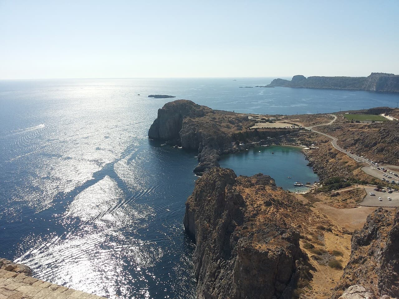
Bucht und Küstenlandschaft
A small Rhodian bay beneath an acropolis and a seafaring village
Rhodes · Griechenland
Dossier lesen →Bild: Chris06 · CC0 · Zugeschnitten; vollständiges Bild im Dossier.
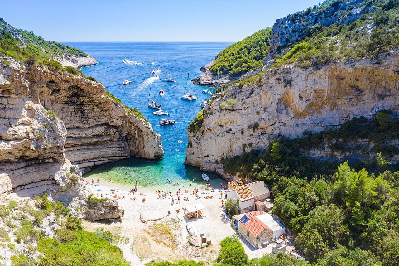
Bucht und Küstenlandschaft
A Vis cove whose narrow opening makes both beauty and visitor pressure visible
Vis island · Kroatien
Dossier lesen →Bild: dronepicr · CC BY 2.0 · Zugeschnitten; vollständiges Bild im Dossier.
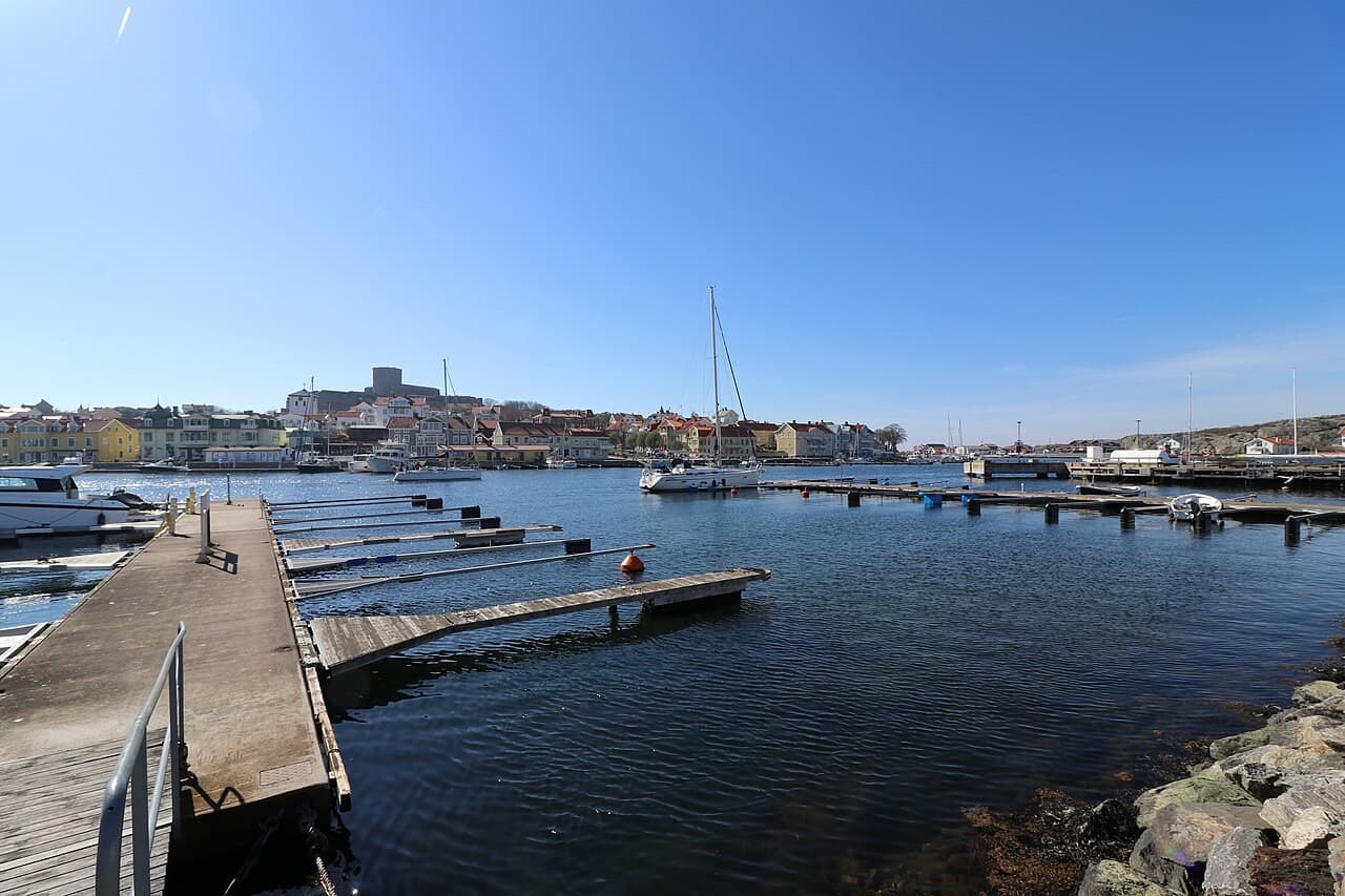
Historischer Hafen und Festungshafen
A Bohuslän harbour beneath a fortress built through changing Swedish power
Bohuslän · Schweden
Dossier lesen →Bild: Matthias Schalk · CC BY-SA 4.0 · Zugeschnitten; vollständiges Bild im Dossier.
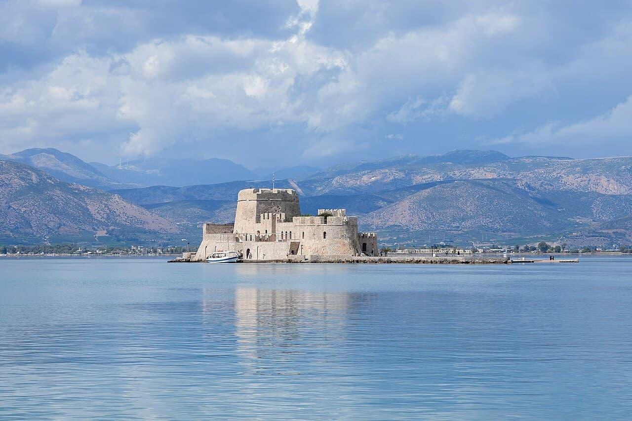
Historischer Hafen und Festungshafen
An Argolic harbour seen between an island fort and a fortified hill
Argolic Gulf · Griechenland
Dossier lesen →Bild: Giles Laurent · CC BY-SA 4.0 · Zugeschnitten; vollständiges Bild im Dossier.

“Golden Age Herring Metropolis & VOC Chamber on the Zuiderzee”
### The Maritime Story Guarded by the twin-roundel artillery gate of the Drommedaris, the Oude Haven of Enkhuizen stood at the zenith of the Dutch Golden Age as one of the foremost maritime ports of the Republic of the Seven United Netherlands. Situated at the eastern tip of West Friesland where ships bound from Amsterdam to the North Sea rounded the headland of the Zuiderzee, Enkhuizen became the pre-eminent centre of the Dutch herring fishery (Grote Visserij), dispatching hundreds of herring busses (haringbuizen) to the North Sea grounds each summer. In 1602, the city became one of the six founding Chambers (Kamer Enkhuizen) of the Dutch East India Company (VOC), fitting out East Indiamen for the Asian spice trade alongside a West India Company (WIC) chamber active in the Atlantic salt and West African trades. It was also at Enkhuizen that Jan Huygen van Linschoten published his seminal Itinerario (1596), opening Portuguese navigational knowledge of the East Indies to northern European mariners. ### Architecture & Waterfront The historic harbour entrance and surrounding quays retain an extraordinary sequence of monuments registered with the Rijksdienst voor het Cultureel Erfgoed (RCE). Commanding the passage between the Buitenhaven and the Oude Haven stands De Drommedaris (Rijksmonument 464878, Paktuinen 1), erected in 1540 as the southern harbour gate and coastal artillery bastion of the city fortifications (Vestingwerken van Enkhuizen, Complex 464799) and heightened between 1649 and 1657 to house a carillon by Pieter Hemony. Along the sea-dyke at Wierdijk 12 rises Het Peperhuis (Rijksmonument 15235), a fine brick Renaissance warehouse built in 1625 for the Enkhuizen merchant and magistrate Pieter van Beresteyn (bearing his motto "De Cost gaet voor de Baet uyt" on the facade tablets), acquired by the VOC Kamer Enkhuizen in 1682 for the storage of Asian spices and integrated into the Zuiderzeemuseum in 1947. Nearby at the Oude Gracht stands the historic water gate and sluice complex of De Boerenboom (Rijksmonument 464871, dated 1593), while the town skyline is crowned by the late-Gothic Zuiderkerk or Sint-Pancraskerk (Rijksmonument 15268) and its 75-metre tower (Rijksmonument 15269, Zuiderkerksteeg 5), housing a 1509 bell by Geert van Wou and a celebrated 1648 carillon cast by François and Pieter Hemony.
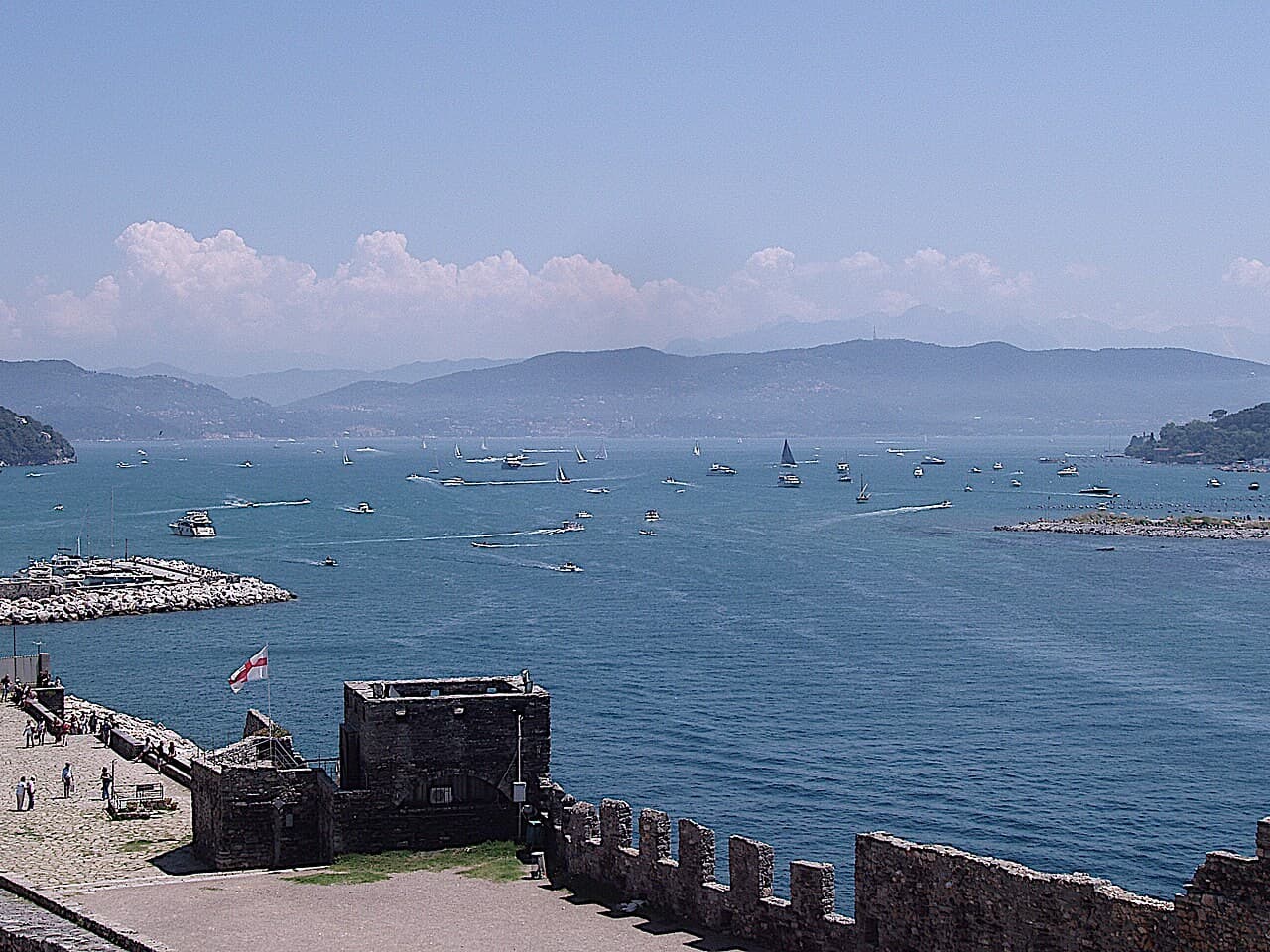
Historischer Hafen und Festungshafen
A Ligurian harbour within a larger landscape of islands and coastal settlement
Liguria · Italien
Dossier lesen →Bild: Cristina.ciutan · CC BY-SA 3.0 · Zugeschnitten; vollständiges Bild im Dossier.
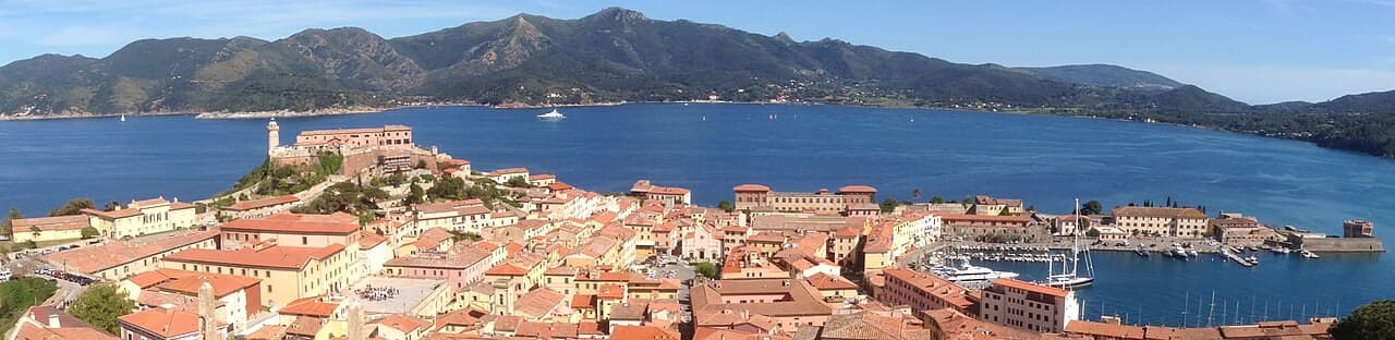
Historischer Hafen und Festungshafen
Medici fortifications above the working harbour of Elba
Elba, Tuscany · Italien
Dossier lesen →Bild: Geak , crop of photo: User:LudwigSebastianMicheler · CC BY-SA 4.0 · Zugeschnitten; vollständiges Bild im Dossier.
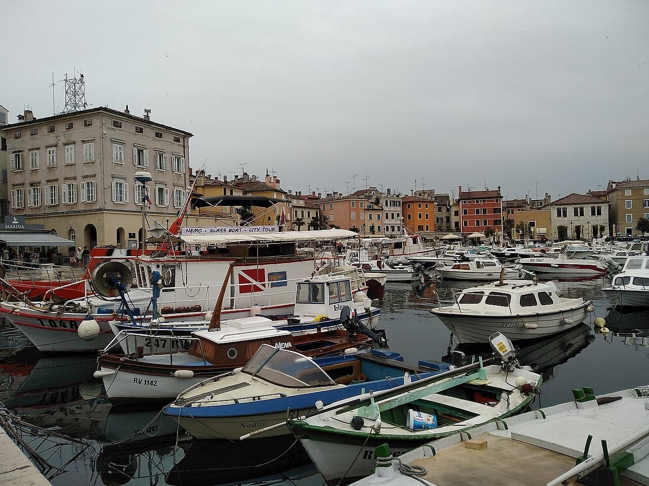
Historischer Hafen und Festungshafen
An Istrian island town whose shoreline became a peninsula
Istria · Kroatien
Dossier lesen →Bild: Maskaravivek · CC BY-SA 3.0 · Zugeschnitten; vollständiges Bild im Dossier.
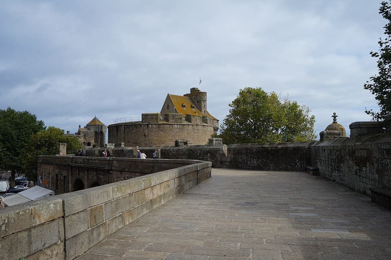
Historischer Hafen und Festungshafen
Granite walls, tidal space and a city facing the Channel
Brittany · Frankreich
Dossier lesen →Bild: Pierre André Leclercq · CC BY-SA 4.0 · Zugeschnitten; vollständiges Bild im Dossier.
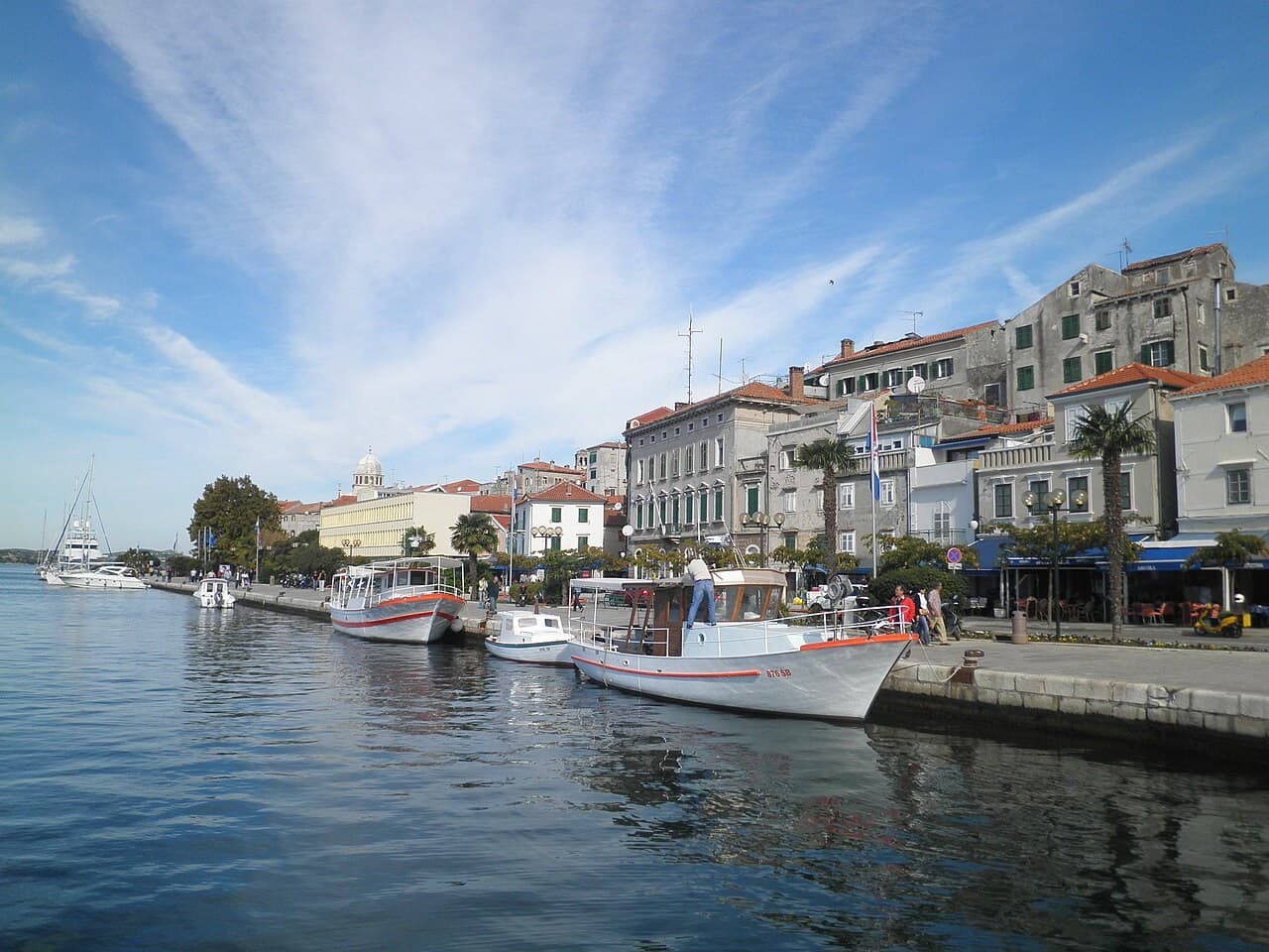
Historischer Hafen und Festungshafen
A Dalmatian port linked to a channel, a fortress and protected shores
Central Dalmatia · Kroatien
Dossier lesen →Bild: Macic7 · CC BY-SA 3.0 · Zugeschnitten; vollständiges Bild im Dossier.
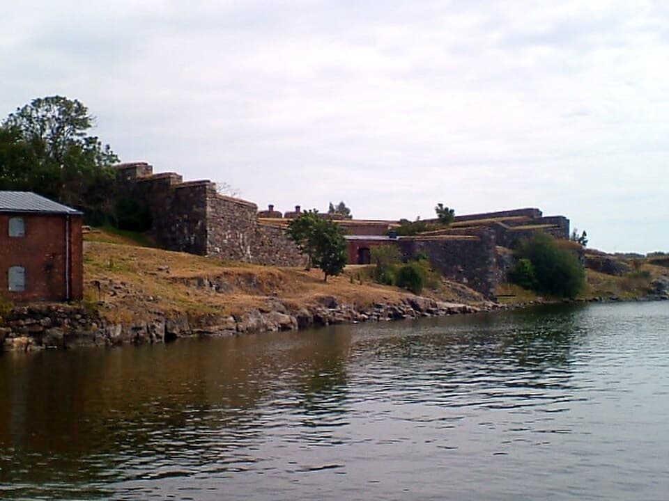
Historischer Hafen und Festungshafen
An island fortress whose dockyard and homes remain part of Helsinki
Helsinki archipelago · Finnland
Dossier lesen →Bild: Victor Belousov · CC BY 3.0 · Zugeschnitten; vollständiges Bild im Dossier.
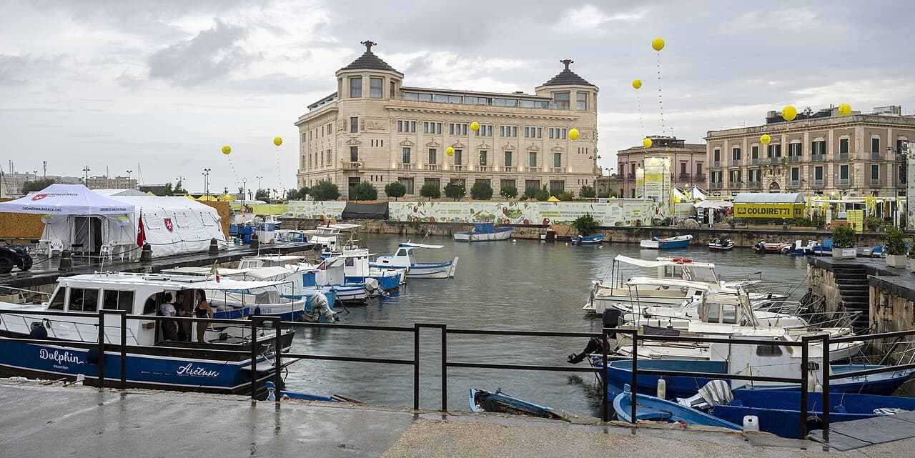
Historischer Hafen und Festungshafen
An island nucleus and the long maritime history of a Sicilian city
South-eastern Sicily · Italien
Dossier lesen →Bild: Cayambe · CC BY 4.0 · Zugeschnitten; vollständiges Bild im Dossier.


