Bay & coastal landscape · Vis island
Stiniva Cove
A Vis cove whose narrow opening makes both beauty and visitor pressure visible
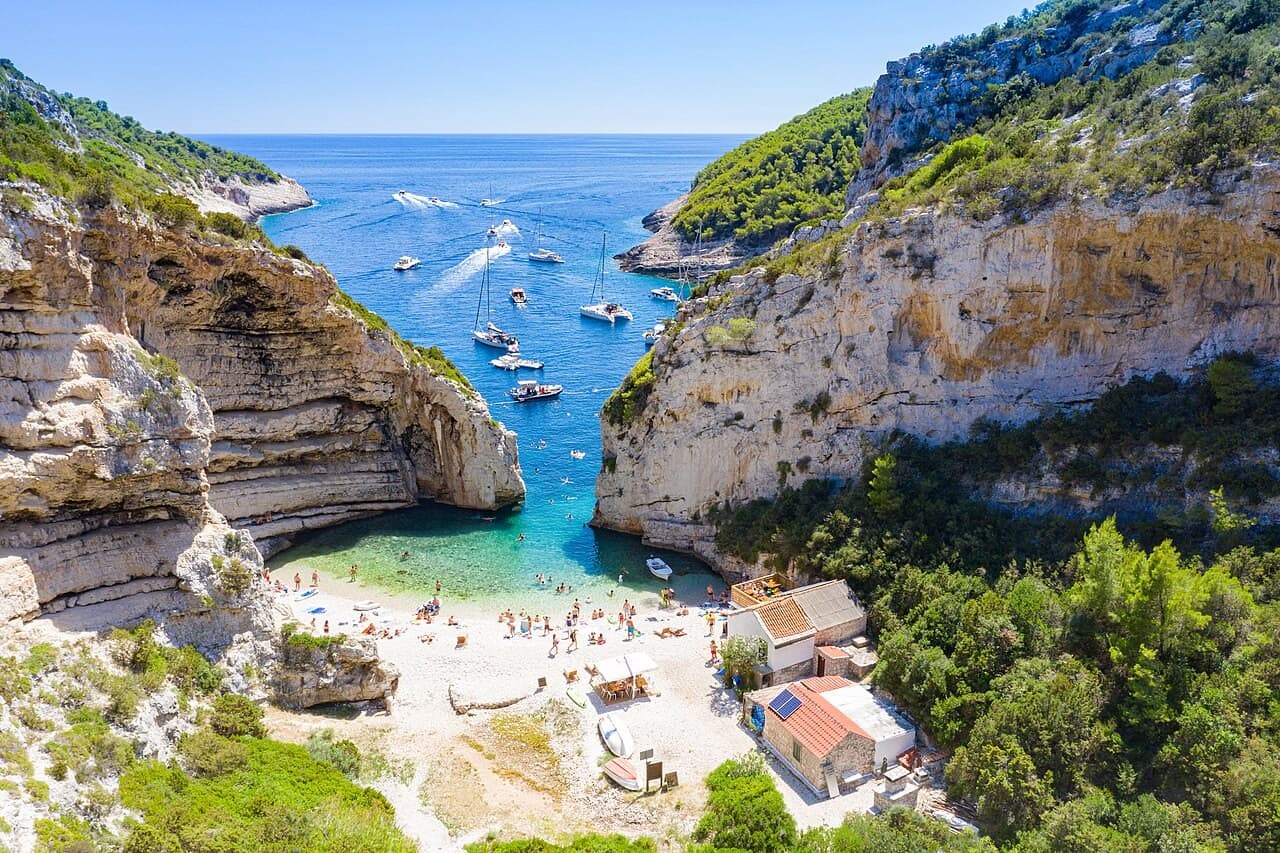
Stiniva’s narrow opening and pebble beach on Vis in an aerial photograph.
dronepicr / Wikimedia Commons · CC BY 2.0 · Image shown uncropped.
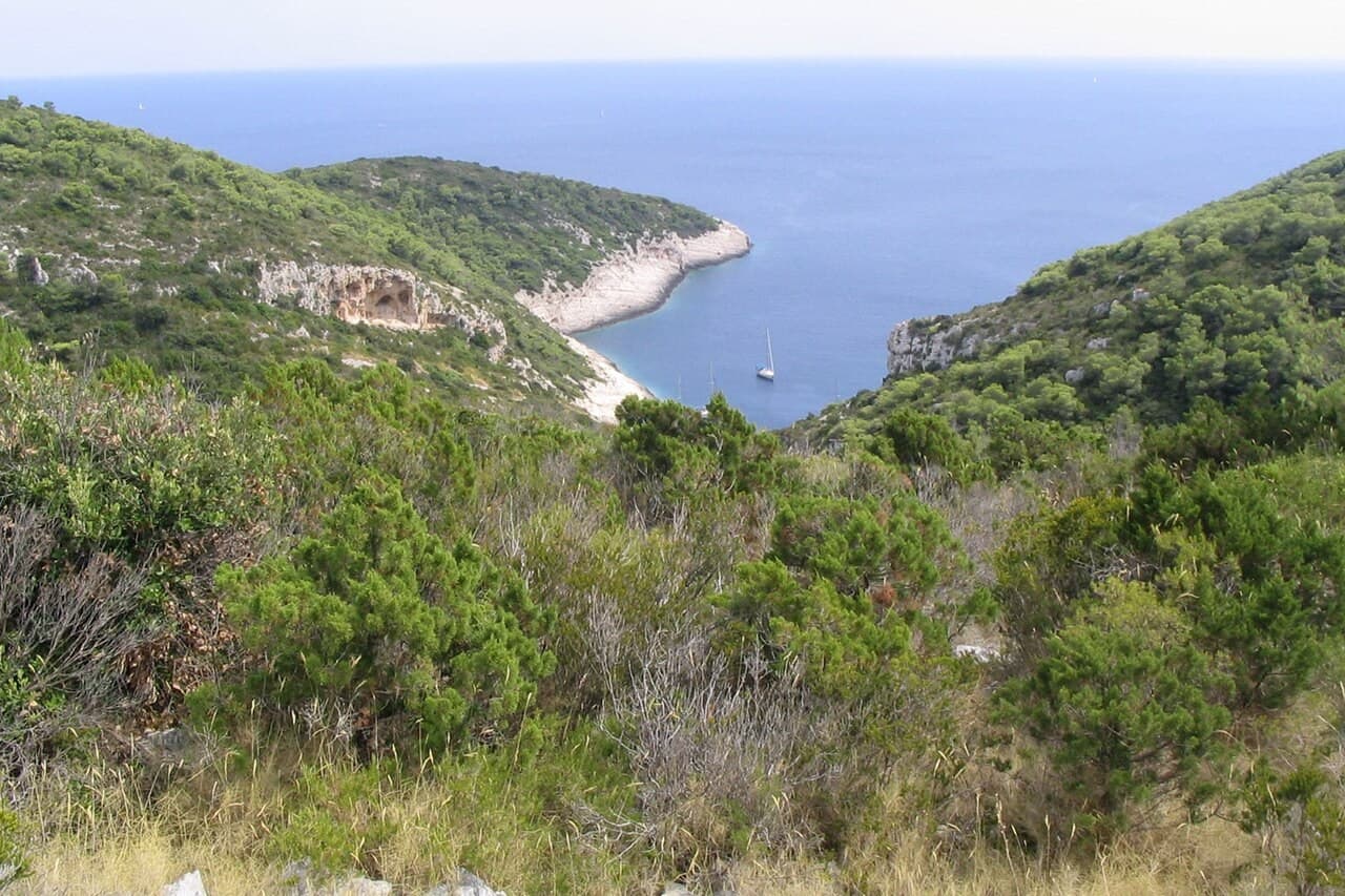
The landscape on the landward approach to Stiniva, looking towards the sea.
Ante Perkovic / Wikimedia Commons · CC BY-SA 3.0 · Image shown uncropped.
Gedocumenteerde plaats en geschiedenis
A protected recess in the coast
A 2024 Split-Dalmatia planning study hosted by the public nature institution describes Stiniva as a deep cove on Vis's southern coast, enclosed by steep rocky shores. It identifies the high cliffs and pebble beach within the protected landscape. Those elements explain the strong visual impression of a small opening into a larger enclosed space. They should be read as parts of a specific coastal landform, not as a generic secluded bay.
Bronnen: [1]
Popularity within a limited space
The same study documents substantial visitor and nautical pressure around Stiniva. Its proposals belong to the date and purpose of that planning document; they are not presented here as current boating permissions. The important cultural point is the tension between the cove's limited scale and its public popularity. The image of seclusion can coexist with a heavily visited place, and an accurate account should leave that tension visible.
Bronnen: [1]
Onze lezing · Redactionele duiding
De kust en haar omgeving lezen
Look at the opening as a threshold rather than a promise of exclusivity. The enclosing cliffs create a powerful sense of an interior, but the beach remains part of a connected coast and a managed visitor landscape. Stiniva asks for a kind of attention that includes limits: how many movements can fit into a small space, which views concentrate demand and what it means to appreciate a place without insisting on occupying its centre.
Bezoek en ontdek · Redactionele aanbeveling
Volg het verhaal
Check current Vis and protected-area guidance before choosing any land or boat approach. A planning proposal and an older photograph do not establish present access rules. Use established paths where authorised, allow for steep terrain and follow local instructions around the shore. Choose an itinerary that respects the cove's capacity rather than treating a famous photograph as an obligation to arrive in the same position.
Public nature institution More i krš — Nautical-anchorages planning study, 2024 ↗