Bay & coastal landscape · Western Norwegian fjords
Nærøyfjord
A Norwegian inlet where steep rock and inhabited shores reveal the scale of a fjord
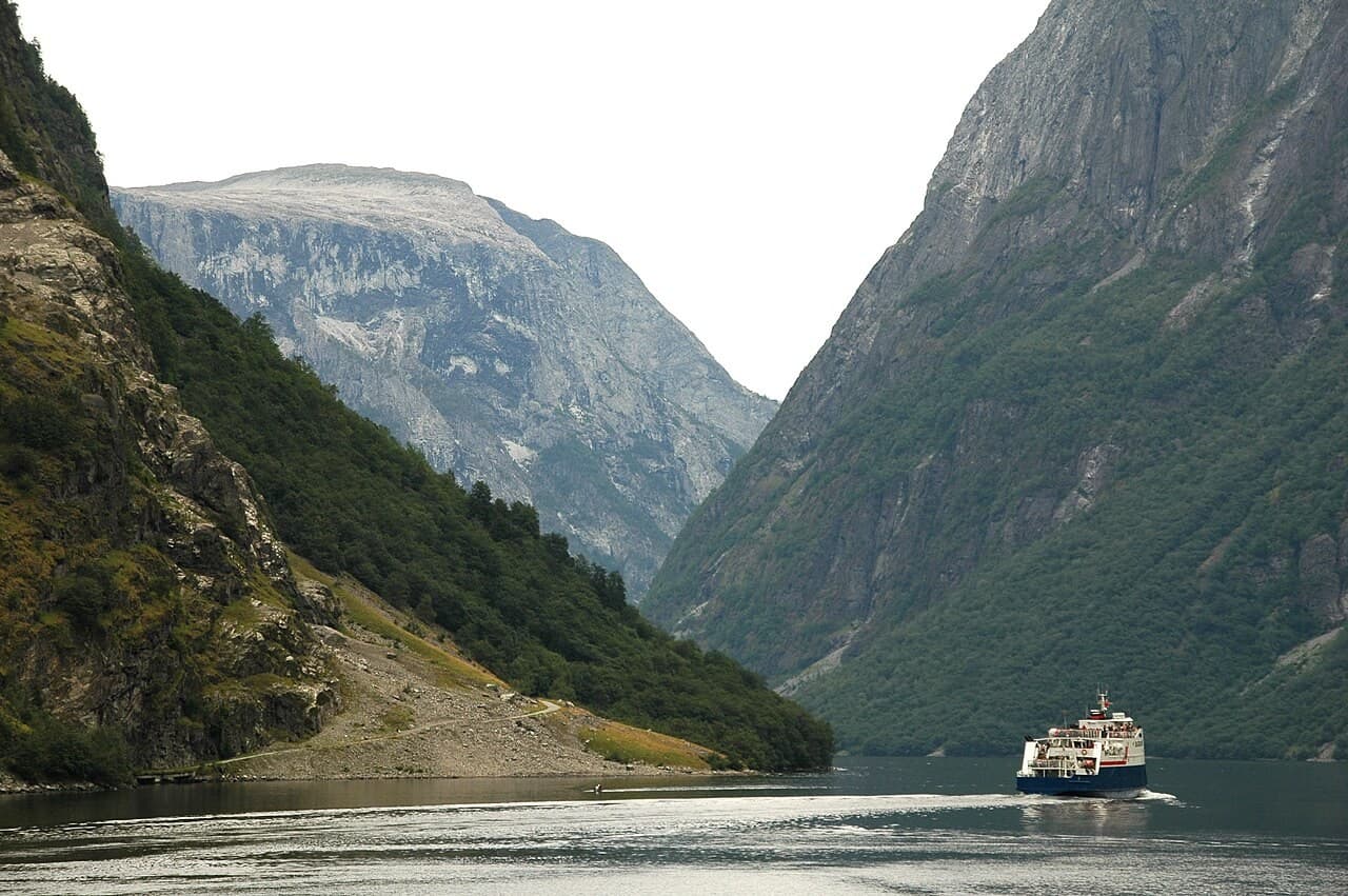
Nærøyfjord seen along the water, with steep rock walls and a vessel giving scale.
qwesy qwesy / Wikimedia Commons · CC BY 3.0 · Image shown uncropped.
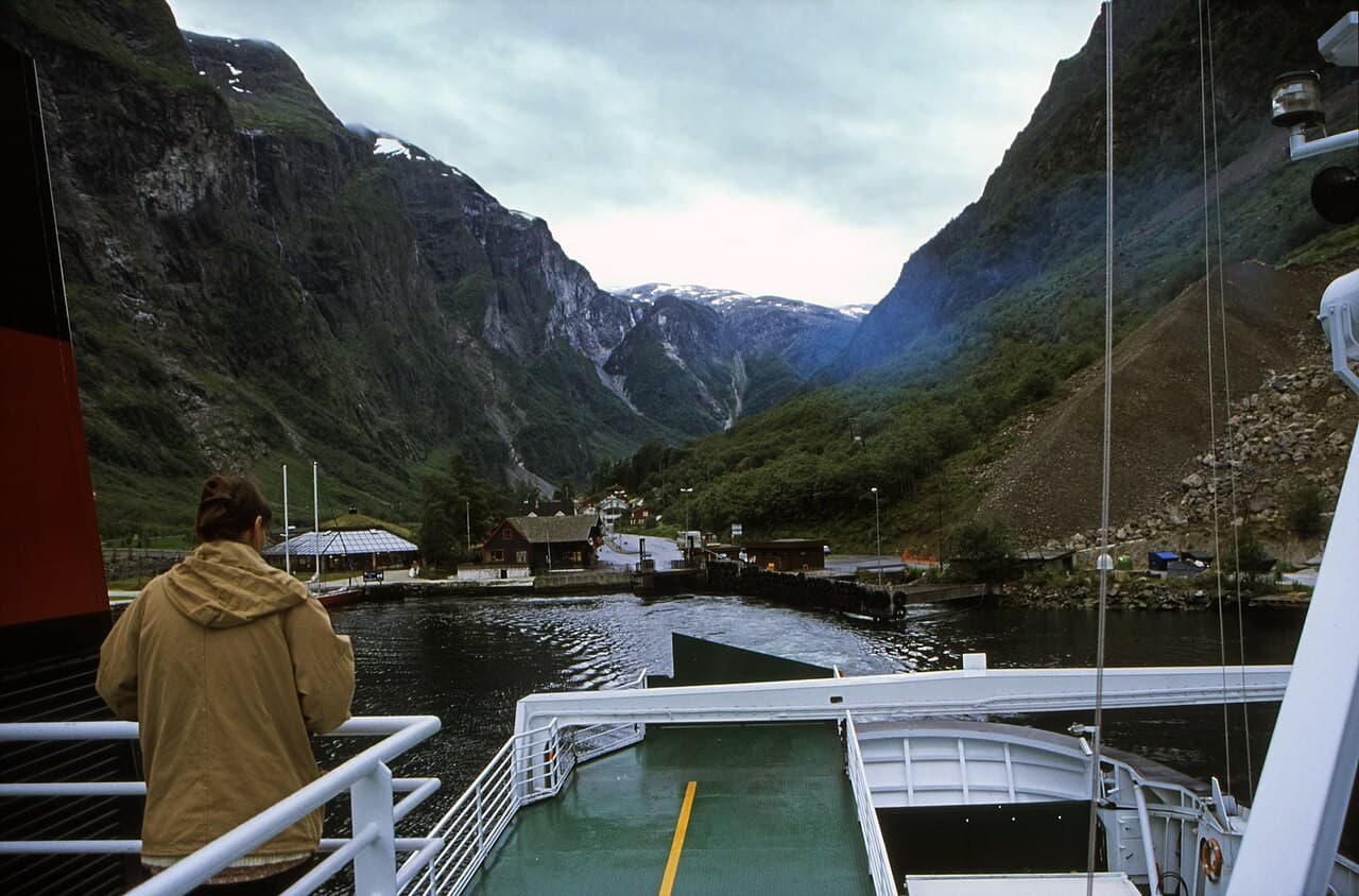
The approach towards Gudvangen on Nærøyfjord in a photograph from 1998.
Rüdiger Stehn from Kiel, Deutschland / Wikimedia Commons · CC BY-SA 2.0 · Image shown uncropped.
Documented place & history
A landform recognised in a wider property
UNESCO's West Norwegian Fjords inscription includes Nærøyfjord together with Geirangerfjord as separate areas within the western Norwegian fjord landscape. Its account emphasises steep crystalline rock walls, waterfalls and the relationship between marine and terrestrial environments. The distinction between the two fjords matters. A view of Nærøyfjord introduces one component of the property, not an interchangeable image of every Norwegian inlet or the whole inscribed landscape.
Sources: [1]
More than a dramatic corridor
The World Heritage documentation places the fjords within a wider setting of rivers, forests, glacial features and high ground. The scale is therefore larger than the water surface followed by a visitor boat. Shore and mountain remain essential to the reading. The property was inscribed in 2005, but that recognition does not turn the place into an unchanging scenic object or establish uniform access to every path and landing place.
Sources: [1]
Our reading · Editorial interpretation
Reading the coast and its setting
Look for small signs that make the scale understandable: a shoreline building, a change in vegetation or a waterfall against the rock. Without them, the fjord can become an almost abstract view. Nærøyfjord is especially powerful when the immense landform is held together with the smaller evidence of occupation and movement. The water is a route through the landscape, but it is also one part of a much larger system of valleys and heights.
Visit & explore · Editorial recommendation
Follow the story
Use current local visitor information to choose a public shore route or scheduled journey, and confirm any transport with its operator. A photograph does not establish landing or walking access on a particular shore. Leave time for a single considered encounter rather than treating the fjord only as a corridor between two stops; changing light can make the same view worth revisiting.
UNESCO — West Norwegian Fjords ↗